Zeta remnant rains continue as does flood watch for Philly, and freeze warning in effect
Up to four inches of rain are possible in the Philadelphia region. Drain-clogging leaves could be a headache.
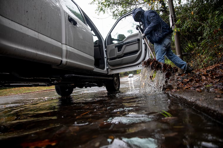
The heaviest rains from the remnants of erstwhile Hurricane Zeta, which made landfall on the Louisiana coast late Wednesday with peak winds of 110 mph, appeared to be pulling away early Thursday evening, but the flash-flood watch remains in effect until midnight.
The National Weather Service says a general 1.5 to 2 inches of rain has fallen so far, about matching the official total that had fallen in Philadelphia for all of October through Wednesday.s could slosh over.
A wind advisory was in effect for the Jersey Shore with gusts past 45 mph expected.
Meanwhile a hard-freezing warning was up for Friday morning, with lows in the 20s possible in some places.
» READ MORE: Isaias leaves destruction and thousands in Philly region without power: ‘The worst ... is yet to
A cold front should chase Zeta’s leftovers to the sea later Thursday, but the cost will be some additional rain followed by an outbreak of December with the first widespread frost of the season possible.
Residents along the Louisiana coast, who by now likely are suffering from severe tropical-storm fatigue, will be confronting yet another major cleanup operation.
» READ MORE: Why the Gulf is getting hammered in this record hurricane season but the East Coast has been spared
Zeta is the record 11th tropical storm to make a U.S. landfall this season, and the eighth to reach Gulf shores.
Warm Gulf waters and consistent upper-air steering winds have been factors in driving storms their way, according to Dan Kottlowski, hurricane specialist with AccuWeather Inc.
The front that will push it offshore will act like a messenger from winter. “We’re looking for the potential for a hard freeze,” said Robert Deal, a lead meteorologist at the National Weather Service Office in Mount Holly.
Readings might even reach freezing at the banana belt known as Philadelphia International Airport.
» READ MORE: First frost and freezing temperatures invade Philly region; 'heat island’ spares city
That has happened only one other time in October since 1992.
Daytime highs in the upper 40s would be normal for the first week in December.