Hurricane season forecasts: Overactive to ‘historic’
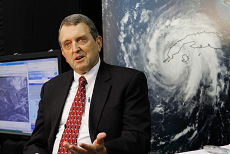
With an almost frightening unanimity, hurricane experts agree that the 2010 season that begins next Tuesday will end up falling somewhere between overactive and "historic."

With an almost frightening unanimity, hurricane experts agree that the 2010 season that begins next Tuesday will end up falling somewhere between overactive and "historic."
The government just released its outlook this morning, and it is quite similar to – although considerably more elastic than - those already published by the major private forecasters.
The only question is just how far above normal the numbers will be, said Gerry Bell, a government hurricane guru.
Officially, the National Oceanic and Atmospheric Administration is calling for 14 to 23 named storms – those with winds of at least 39 m.p.h. – to form in the Atlantic Basin, which includes the Gulf of Mexico and the Caribbean, before the season ends Nov. 30.
Of those, eight to 14 would become hurricanes, packing winds of 74 m.p.h. or better, and three to seven would grow into major storms, with winds of 111 m.p.h. or greater.
In a typical year, by NOAA's count, 11 named storms form, with six of those hurricanes, and two majors.
Bell, the lead hurricane forecaster at the Climate Prediction Center outside Washington, said the tropical Pacific is the key to how busy the season will be. In 2009, the waters out that way became unusually warm, the condition known as El Niño. The warm waters generate strong west-to-east shearing winds that can snuff out burgeoning tropical storms in the Atlantic Basin.
But El Niño is toast, and Bell says it's looking more and more likely than its opposite, a La Niña cooling, would replace it.
The consensus is that cooler waters in the Pacific, warm waters in the Atlantic Basin, favorable upper-air patterns, and the continuation of an active hurricane era that began in 1995, all spell trouble for the Gulf and Atlantic Coasts - and U.S. taxpayers. The treasury is still down $18.5 billion in flood-insurance losses, largely the result of the incredible 2005 season.
The NOAA forecast numbers track neatly with those in the outlooks posted by Accu-Weather Inc., in State College; WSI Corp., in Massachusetts; Colorado State University, a pioneer in long-range hurricane forecasting; and the British service, Tropical Storm Risk.
Accu-Weather sees 16 to 18 named storms; WSI, 18; Colorado State, 15, and Tropical Risk, 16.
Although no one predicts specific landfalls, all agree that the numbers of storms would make it likely that some portion or portions of the U.S. coast are going to get whacked.
Said WSI's Crawford, "It's looking more and more like an historic season this year."