Bolaris: Rain (maybe freezing rain) on Sunday morn
Record-cold temperatures this morning in Atlantic City (-3), Allentown (-4), Trenton (-1), and Millville (-9).
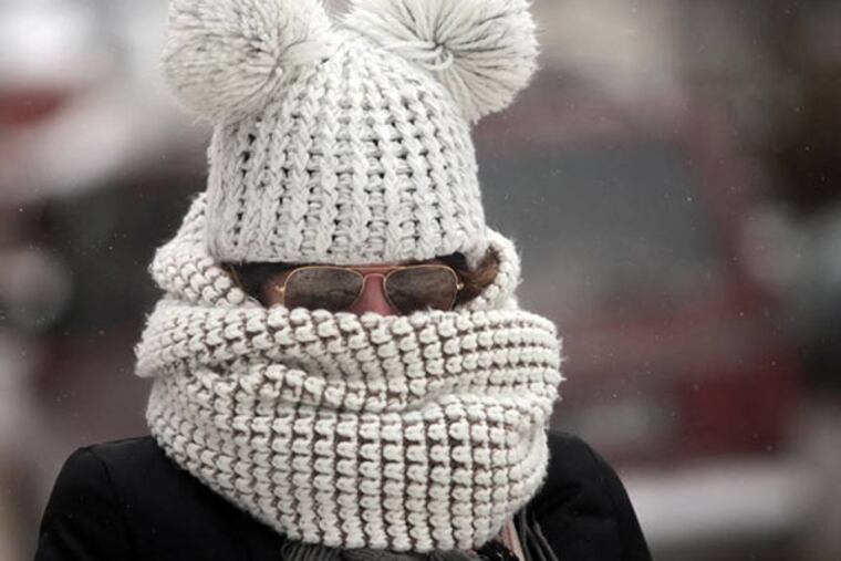
The low in Philly was 8 degrees (not a record), but overall the coldest outbreak in 20 years.
Temperatures eased this afternoon (into the 30s) helped by plenty of sunshine.
Wet Sunday
Sunday moisture will poke up the coast as the Arctic High retreats, which should lead to some freezing drizzle and rain for a brief time early Sunday, before everyone goes to all rain. Morning could be slick in areas especially north and west of the city.
The next Arctic invasion looks to arrive by Monday afternoon, as temperatures drop rapidly. Any rain showers could turn over to snow showers and a light accumulation cannot be ruled out for some.
This is another brutally cold air mass as temperatures in many locations will set new record-lows. Temperatures by Tuesday morning in Philly could break the record-low of 7 degrees set back in 1988. And many areas will drop below zero along with wind chills more severe than with this most recent air mass.
Wind chills will be dangerously cold, dipping 10-25 degree below zero come early Tuesday morning.
Temperatures will ease for the second half of the week.
John Bolaris