Bolaris: Sunday storm, then more bitter cold
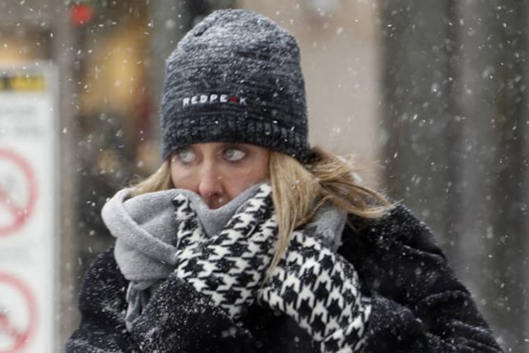
Howling winds and fierce cold remain in the wake of the biggest snowstorm to date for the winter season.
The highest snow totals can be found across Ocean and Monmouth counties of New Jersey with 10 inches being reported at Lakewood in Ocean County and 10 inches also being reported at Long Branch in Monmouth County.
In Philly, 7 inches were tallied in Center City and 7 inches also reported at Fox Chase in Northeast Philly. At National Park, near the airport, a whopping 9 inches was tallied.
In general, 5-8 inches was the average across the region.
As of today, Philadelphia has already picked up a little over 20 inches of snow which is the normal for the entire winter season, and as you know we still have a long way to go.
Temperatures today will remain locked in the teens with wind chills hovering below zero.
Eagles gameday forecast
On Eagle Saturday, temperatures will ease some as highs move into the mid-upper 20s, with a good amount of sunshine and less wind.
Wind southwest, 8-12 mph, is a non-factor.
Prediction: Eagles win, 30-27.
Sunday storm
The next storm will arrive later in the day Sunday. It might start as a mix, but then go all liquid on Sunday night. Northwest of the city, you could see a prolonged period of a wintry mix.
In the wake of that storm, another bitterly cold airmass will invade the region on Monday and Tuesday, and temperatures on Tuesday might actually turn out COLDER than today with highs of 10-15 degrees.
However, I will leave you with some good news. We could see milder temperatures by mid-January as the January thaw tries to kick in.
In the meantime, the wicked winter of 2013-14 has a long way to go.
Be safe and try to stay warm. :)
John Bolaris