Ice wreaks havoc on I-95
Traffic on portions of I-95 around Philadelphia has come to a standstill tonight as sections of the interstate and bridges to New Jersey are covered by a sheet of ice.
Traffic on portions of I-95 around Philadelphia has come to a standstill tonight as sections of the highway and bridges to New Jersey are covered by a sheet of ice.
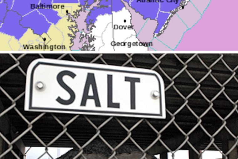
Major traffic backups are taking place near the Commodore Barry Bridge exit, near the Broad Street exit, and at the exit to the Girard Platt and Walt Whitman bridges. The Commodore Barry Bridge has been closed until salt trucks can finish working on the bridge, Traffic.com reports.
Northbound traffic on I-95 reportedly is backing up all the way to Wilmington, Del. Southbound traffic also is affected by an accident at the Route 3/Marsh Road exit in Wilmington.
By 5 p.m., the ice and sleet were creating traffic problems all over the region, from South Jersey to Montgomery County.
Many schools dismissed early, fearing hazardous weather.
Condition started to worsen after 3 p.m., when light snow began being replaced by sleet and freezing rain.
Snow was whitening shoulders of roads from Downingtown to Landsdale, and sleet and frozen rain remained possibilities in the Pennsylvania suburbs. Warnings that were issued starting early today proved to be right.
"We still expect some snow to last throughout the afternoon and into the evening," said meteorologist Lee Robertson at midafternoon. "There might be a period of sleet right around the rush hour as it changes from snow on the way to freezing rain."
The biggest worries were for Chester, Montgomery and Bucks Counties, as well as counties to the north, where freezing rain could remain a threat through the evening.
"Toward 7 or 8 p.m., the freezing rain will move in," said Robertson, who works for the National Weather Service out of Mount Holly. "That will last a few hours. After midnight, it will change to all rain."
"There might be a brief period where the rain breaks, but the rain should return full force tomorrow, just in time for the morning rush."
In the city, Delaware County and South Jersey, little accumulation was expected, and the changeover to rain was likely to happen earlier in the evening.
Freezing rain is always a concern, because ice can render roads treacherous and coat wires and branches, leading to power outages, according to the service's winter storm warning for much of Eastern Pennsylvania and North Jersey.
Some areas could get an inch or more of snow topped with a quarter-inch of ice.
Tomorrow could see an inch of rainfall throughout the region, with highs in the 40s.
For more on the forecast, go to http://go.philly.com/weather.