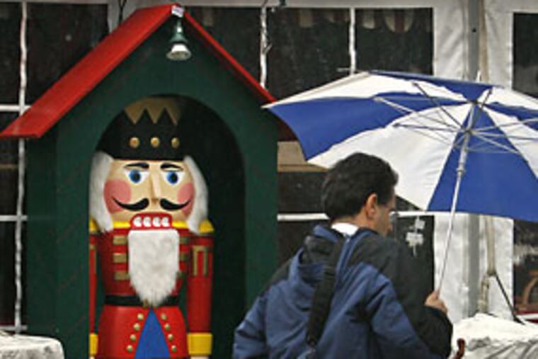
Forecast includes flood watch, high winds, snow showers
A flash flood watch is in effect until 6 p.m. throughout the Philadelphia area and there is a chance of snow showers in Southeastern Pennsylvania this evening as a cold front barrels towards the region.

A flash flood watch is in effect until 6 p.m. throughout the Philadelphia area and there is a chance of snow showers in Southeastern Pennsylvania this evening as a cold front barrels towards the region.
High winds with gust of up to 40 mph also could wreak havoc this afternoon by uprooting trees from the saturated ground.
There is a 40 percent chance of showers this afternoon followed by a 20 percent chance of precipitation this evening, possibly in the form of snow in Southeastern Pennsylvania, the National Weather Service says.
In Delaware, the state police reported "ponding" on various roadways throughout the state and warned drivers of SUVS and trucks thate high winds "are making driving challenging as well." They advised those drivers to drive slower than normal on overpasses and bridges.
This morning, heavy rain made for a messy - and hazardous - rush hour in the Philadelphia area.
Between midnight and noon, 2 inches of rain had been measured at Philadelphia International Airport.
Standing water and poor visibility made driving difficult but temperatures in the 40s, heading to the mid 50s this afternoon, at least meant ice was not a problem.
Chris Edwards, a Bucks County spokesman, said no major roads have been reported closed in the county because of flooding, although water has been reported on smaller roads.
"The Neshaminy Creek is the concern this afternoon,: he said. It is presently at flood stage - nine feet - and that the National Weather Service expects it to rise another foot by this evening.
However, the impact on residents should be minimal, he said, because of flood remediation programs already completed along the Neshaminy since Hurricane Floyd.
"Most of those homes that would have been affected at that level have either been razed or elevated at this point," he said.
Flights were canceled or delayed to and from cities hardest hit by the storm system, which dumped a foot of snow in the Midwest on its way eastward.
More than 100 flights were canceled in and out of Chicago, and flights involving New York City were expected to average delays of about an hour.
In the Philadelphia area, there were reports of motor vehicle accidents and road flooding as the morning rush got underway, but no word of any serious injuries or deaths.
On the Admiral Wilson Boulevard, where a multi-million dollar drainage project is underway, westbound traffic slowed to a crawl because of flooding.
SEPTA's Regional Rail also reported delays of up to 20 minutes on commuter trains because of the weather this morning.
Temperatures could fall into the mid 20s tomorrow night and Friday night.
For more on the forecast, go to http://go.philly.com/weather.
For information on flights in and out of Philadelphia International Airport, go to www.phl.org or call 1-800-745-4283 (1-800-PHL-GATE).