Hottest day since last July
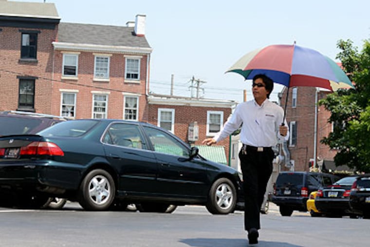
Just before 3 p.m., the temperature hit 98 at Philadelphia International Airport, tying the record for the date and making today the hottest since last July.
Just before 3 p.m., the temperature hit 98 at Philadelphia International Airport, tying the record for the date and making today the hottest since last July.
Want even hotter? Wait ... or head for Atlantic City Airport which hit 101 about 3 p.m.
Today's even steamier than Wednesday's scorcher, which topped out at 97 in Philadelphia - and buckled part of the Schuylkill Expressway.
Today's city record of 98 was set in 1933.
An extreme heat warning is in effect until 8 p.m. for Philadelphia and its surrounding counties, while elevated ozone levels pose a threat for sensitive groups - the elderly, children, and anyone with a respiratory ailment.
"It's already considerably more disgusting this morning than it was yesterday at this time," said meteorologist Anthony Gigi of the National Weather Service - and that was at 7:30 a.m.
Humidity waas up significantly today, with a dewpoint around 70 - meaning the air is so saturated, condensation could form at room temperature.
Yuck.
Don't expect an afternoon thunderstorm to provide relief, Gigi said. If any happen in Philadelphia, they're more likely about 5 or 6 p.m., with areas north and west of the city most likely to see some action.
As of early afternoon, a severe thunderstorm watch was in effect for most of Pennsylvania, including Lancaster and Schuylkill Counties, but the actual storm action was in New York State.
The earlier that storms form today, the more likely they will be severe, because of all the volatile energy still in the atmosphere, Gigi said.
Wednesday, the hottest spot officially measured in the region was Atlantic City Airport, which saw a record 98.
The 97 at Philadelphia International Airport eclipsed the three-year-old mark of 95 - and an eastbound lane of I-76 near Grays Ferry Avenue buckled in midafternoon. The repaired roadway is causing no problems this morning.
Other records: 96 in Allentown and Reading, and 91 at Mount Pocono.
Trenton and Wilmington both hit 96 but fell a degree or two short of their old marks.
Many schools across the region, lacking sufficient air conditioning, will close early again today, including Philadelphia public and Archdiocesan schools.
The normal high for this date is 79 degrees.
For heat-coping tips, call the Heatline of the Philadelphia Corp. for Aging at 215-765-9040 from 8:30 a.m. to 8 p.m. today.
As temperatures fall into the weekend, the chance of showers and thunderstorms continues.
"We need the rain," Gigi said. "Everything is getting so parched."
Friday could still be in the 90s, but Saturday and Sunday should top out in the 80s, with high 70s possible Monday and Tuesday.
For more on the forecast, go to http://go.philly.com/weather.