Philly region sets a record high with an extreme low
More suffering is ahead with a temperature of zero forecast for 6 a.m. Sunday, the coldest it's been around here in 24 years.
How low can it go?
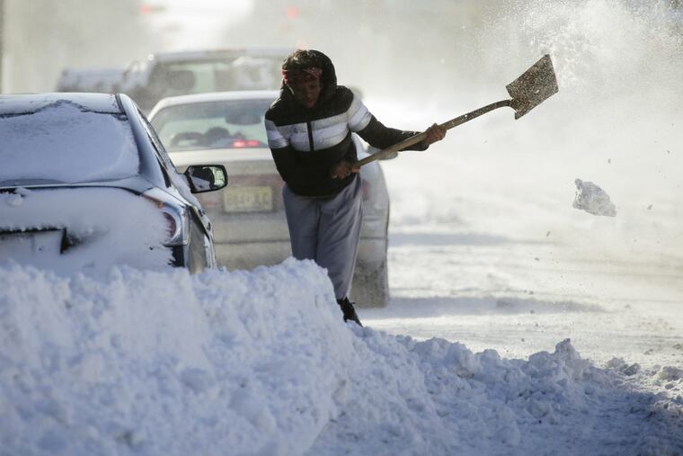
The Philadelphia region set a frigid record Saturday recording a high temperature of just 15 degrees, three degrees chillier than the previous record of 18 in 1942.
At least another record was expected before this wickedly cold weekend's end. A temperature of zero is forecast for 6 a.m. Sunday. The region hasn't seen a temperature that low or lower since Jan. 19, 1994, when the thermometer hit 5 below – and we're not talking the discount retail store.
If Saturday felt colder than 15 degrees, that's because it was! The wind chill had it feeling more like minus 1 and will make the forecasted zero feel like minus 11.
The National Weather Service has a wind chill advisory in effect until 10 a.m. Sunday. It warns that frostbite can happen in as little as 30 minutes for exposed skin.
Just hang in there. Relief is in sight, with temperatures expected to warm to the 40s by Tuesday and the 50s by next Saturday.