Forecasters, Phil agree: Winter won't end soon
The groundhog has had his day, but the weathermen are saying they don't need a woodchuck to tell them that the region might be in for a memorable spell of winter.
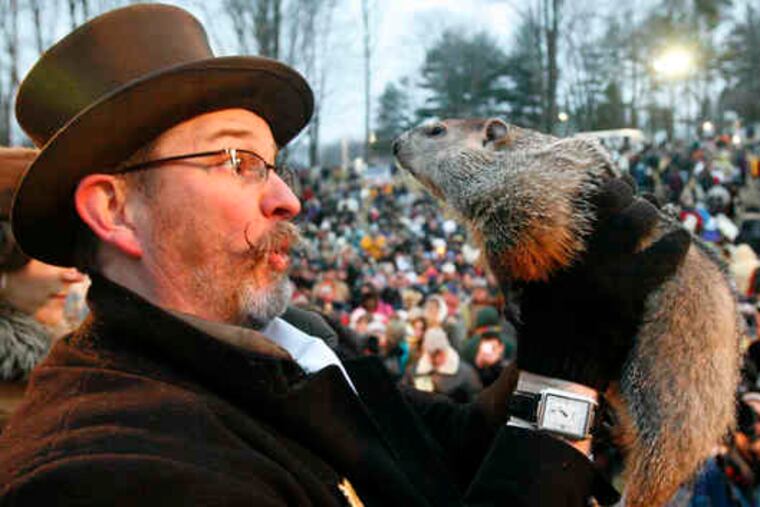
The groundhog has had his day, but the weathermen are saying they don't need a woodchuck to tell them that the region might be in for a memorable spell of winter.
Another beach-erasing nor'easter with heavy snow is possible this weekend, and beyond that, temperatures are expected to remain below normal for the next two weeks, with an active storm pattern.
Meteorologists, who have to live with the vicissitudes of nature, the imprecision of weather observations, and the capriciousness of computer models, are wary of forecasting weather beyond the next several days.
However, at least one factor argues for the possibility of six more unpleasant weeks. This winter has coincided with El Niño, an abnormal warming of surface waters in the Equatorial Pacific, and some past El Niño winters have been late bloomers, with cold and storminess lapping into March, said Tony Gigi, a meteorologist at the National Weather Service office in Mount Holly.
But the biggest player of the winter has taken shape about 3,500 miles north of Punxsutawney Phil domain. Arctic high pressure has been the dominant feature of the season, said Mike Halpert, deputy director of the government's Climate Prediction Center, outside Washington.
When pressures near the North Pole are higher than they are at middle latitudes, about 300 miles north of Philadelphia, cold air tends to pour into the eastern United States. The pressure differences are tracked by an index, the Arctic Oscillation, or A.O. When the pressure is higher in the Arctic, the index is said to be negative. Since 1970, the index was been predominantly positive, but this year, it has been at near-record negative levels.
The A.O. might have something to do with the upside-down winter in the East, Gigi said, since it might be shunting storms to the South. The Baltimore-Washington area has had twice as much snow as Williamsport, Pa. And Richmond, Va., has had more snow than Allentown.
"You're getting everything suppressed," Gigi said.
The intensity of the A.O. has been a surprise, Halpert said, the kind of unexpected development that casts a long shadow on the future of seasonal forecasting.
"There's a large natural component there that nobody's going to get," Halpert said.
Not even the groundhog.