The snow is gone but Philly area feels the impact: Latest on schools, transit
SEPTA Regional Rail trains are on a special schedule. Many schools had delayed openings.
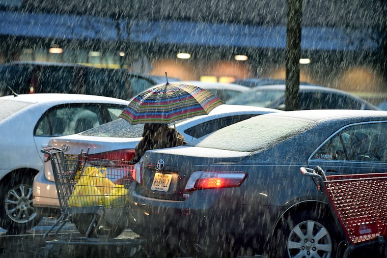
A winter storm that dumped around six inches of snow north and west of Philadelphia and hardly anything to points farther east has moved out to sea, leaving behind a varying range of impacts. At Philadelphia International Airport, the official measurement was one inch. Here’s the latest of what you need to know.
Schools
Philadelphia public schools opened two hours late. Archdiocese of Philadelphia schools in the city are closed. Outside the city, most of the schools in the Pennsylvania suburbs opened late, with an occasional closure. In South Jersey, it appears most schools opened on time but some were delayed. 6ABC has a full list.
Mass Transit
SEPTA: Regional Rail lines are operating on an enhanced Saturday schedule, with extra trains for the afternoon commute on the Lansdale/Doylestown, Manayunk/Norristown, Media/Elwyn, Paoli/Thorndale, Trenton, Warminster, West Trenton, and Wilmington/Newark Lines. Cynwyd Line service is not operating.
Amtrak: Service between Philadelphia and Harrisburg is suspended due to issues with the overhead catenary wires west of the Elizabethtown, Pa., station.
PATCO: Trains are operating on a regular schedule.
Driving
Conditions vary based on location. Roadways are wet in South Jersey and in Philadelphia. They are slushy and possibly icy north and west of the city.
Standing water could become a problem with temperatures expected to dip below freezing Monday night.
At least one fatal crash occurred during the height of the storm Sunday, though it wasn’t immediately clear what role the weather conditions played.
Air Travel
No major problems. Some flights to areas affected by the weather have been canceled. Check your airline for flight status information.
Weather
The snow has ended but the region is in for an extended taste of winter this week, thanks to below-normal temperatures.
After a high of around 40 degrees Monday, the thermometer will not get above freezing until Friday, and even then it will be only about 36. Overnight lows will be in the mid-teens except Wednesday night, when it is forecast to dip to 9 degrees. Wind chills will be about 10 degrees lower than the air temperature.
Normal daytime highs this time of year are in the upper 40s.
The sun will shine throughout the week until Friday, when clouds move in.