Thunderstorms back in Philly-area forecast
On the plus side, it does not look like the storms will be as severe at the ones that rattled the region and spawned tornadoes in the past 10 days.
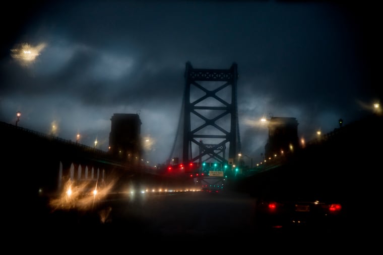
After a two-day reprieve, Philadelphia is in for another round of thunderstorms on what is expected to be a hot and muggy day.
On the plus side, current forecasts do not indicate that the storms will be as severe as the ones that knocked out power to thousands and spawned a pair of tornadoes within 50 miles of Center City in the past 10 days.
The National Weather Service said in a hazardous weather outlook statement that showers and thunderstorms would bring locally heavy rainfall from late afternoon into the evening Wednesday.
“There may be some flooding of roadways and areas of poor drainage, along with minor flooding on some small streams and creeks,” the statement said.
With an expected high of 85 degrees and dew points in the low 60s, it will feel muggy in the afternoon and not as comfortable as it was Tuesday, according to the forecast.
There’s a chance of thunderstorms again Thursday, but for Friday and the weekend, we’re looking at mostly sunny skies with highs in the low 80s.