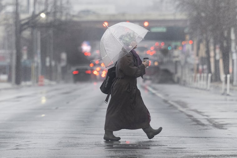
Strong winds and heavy rain are expected around Philly during evening commutes Monday
A powerful storm coming in from the west will make Monday a blustery, rainy day for the Philadelphia region, with the risk of damaging winds as it amps up in the evening, forecasters said.
Damaging winds and thunderstorms are expected to complicate evening commutes on Monday and continue into the night, meteorologists say.
The powerful storm traveling across the country — dropping inches upon inches of snow from Minnesota through Wisconsin and up into Michigan — will reach the Philadelphia area Monday evening around sunset, said John Fennick, a senior meteorologist at AccuWeather Inc.
Ahead of the cold front working its way to the region, rain, thunderstorms, and some gusty winds will speckle a somewhat cloudy and humid day, said Paul Fitzsimmons, lead meteorologist at the National Weather Service office in Mt. Holly, N.J.
Those gusts will amp up into the night, with winds projected to reach more than 60 mph. They could reach as high as 70 or 80 mph at the height of the storm, Fitzsimmons said. The weather service issued a wind advisory for South Jersey from 2 p.m. Monday to 2 a.m. on Tuesday. Fitzsimmons urged residents to monitor updates.
People should be prepared for power outages, he said.
And the possibility of a tornado can’t be fully ruled out, Fennick said.
“The risk of a tornado is low, but it’s certainly not zero,” he said. “We do have to be concerned about some localized damage.”
The possibility of a tornado looks higher west of the city, around Chester County, as well as southwest, toward Baltimore or Washington, D.C., Fitzsimmons said.
At its height, the storm will drop one to two inches of rain on the region. The system will move through the area pretty fast; Fennick didn’t expect there to be widespread flooding. However, there could be some flash floods, Fitzsimmons warned.
With the storm coming from the west, it will weaken a bit as it moves through the area, he said. The greatest risk for severe weather will be Philadelphia and points westward, losing steam as it goes east toward Trenton or the Jersey Shore.
This system could be more significant than is typical for this time of year, Fitzsimmons said.
“The Storm Prediction Center has portions of our area in what’s called an enhanced risk for severe weather, which is essentially a level three out of five,” he said. “That doesn’t happen very often, especially around this time of year. So that is a little bit unusual.”
Objects that aren’t anchored to the ground could become airborne, Fennick said.
“Anybody that has any decorations or anything that’s not secure outside, they’re going to want to do that before the storms move in [Monday] evening, because it certainly could be a pretty nasty evening,” he said.
Spring tends to be “very volatile in and of itself,” Fennick said, with this being the season meteorologists observe the vast majority of severe weather.
“You’ve got the cold air still trying to hang on, and the warm air trying to come northward, and when they collide, you get a lot of severe weather,” he said.