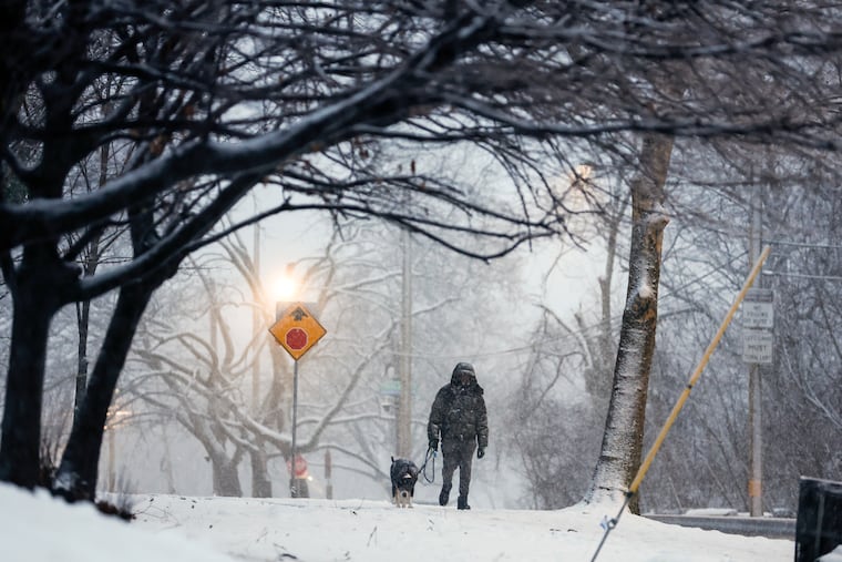
How much snow, and when will it begin snowing in the Philadelphia region?
More than a foot is possible across much of Pa., N.J. as fierce storm sweeps eastern U.S.

Philadelphia is expected to see its most significant winter storm in years this weekend, with nearly a foot of snow and ice expected from a formidable low-pressure system sweeping across the eastern United States.
Official National Weather Service forecasts say six to 18 inches of snow is possible across most of New Jersey and Pennsylvania, including Philadelphia as the storm pushes through the region Saturday night to early Monday morning. More than 21 states are expected to experience at least moderate impacts from the storm, the weather service said.
Forecasters said that mixing with sleet and freezing rain could hold down overall snow totals across Philadelphia and South Jersey, but the storm is likely to hinder if not halt most travel on Sunday, regardless.
The National Weather Service puts out forecasts for every few square miles of land in the United States four times a day through a system called the National Digital Forecast Database.
The maps below display that data. Use it to find how much snow is expected anywhere in the eastern United States. It will show the most recent forecast for the next three days.
A considerable amount of freezing rain and sleet may also fall during the storm, leading to icing concerns. The map below displays the forecast for ice accumulation, or accretion, over the next three days.