Sizzling heat persists, but rain, relief in sight
Temperatures in Philadelphia on Sunday narrowly missed the triple-digit mark, topping out at 98 degrees in the city, according to the National Weather Service.
Temperatures in Philadelphia on Sunday narrowly missed the triple-digit mark, topping out at 98 degrees in the city, according to the National Weather Service.
That’s shy of the record, 103, set in 1930.
An excessive heat warning is in effect through 10 p.m. Sunday.
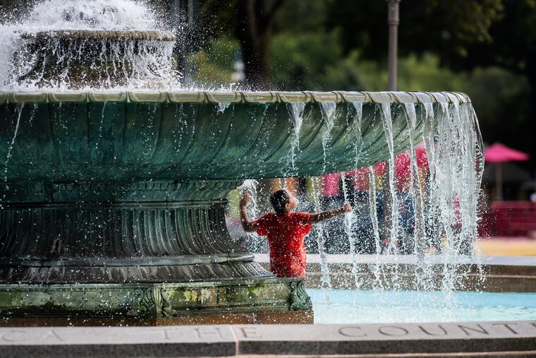
The hot weather kept many people indoors, with air conditioners or fans running. Those who did venture outside kept sun exposure to a minimum, or sought relief in pools, sprinklers or even fountains.
The heat caused an evacuation at a South Jersey rehabilitation facility Sunday, just as it had earlier forced residents out of the Pavilions, an apartment complex in West Philadelphia, during a Friday power outage there. Nearly 300 residents had to be evacuated.
Power had been restored and Pavilions residents were back inside their apartments Sunday afternoon, and workers from the Share Food Program were on hand to distribute food to residents who lost perishables during the power outage.
Relief is in sight for the region, with a “strong but slow-moving" cold front headed our way, said Jonathan O’Brien, a National Weather Service meteorologist based in Mount Holly. That means rain, specifically a risk of “strong to severe thunderstorms" on Monday, O’Brien said.
A flash flood watch will be in effect from Monday morning through Tuesday morning.
The high Monday is predicted to be 90.
“It will be another warm and humid day, but there will be some cloud cover, so it won’t be as uncomfortable as it has been,” O’Brien said.
Tuesday will feel even cooler, with a projected high of 80.
