Snow-less in Boston. From deep freeze to “air quality” alert in Philly. What is with this winter?
Diary of a strange winter. Hard to believe, Philadelphia's snow total is more than triple that of Boston. Harder to believe, Raleigh has had four times as much snow as Boston.
One measure of the peculiarity of the winter of 2018-19 is this: Raleigh, N.C., has had nearly four times as much snow as Boston.
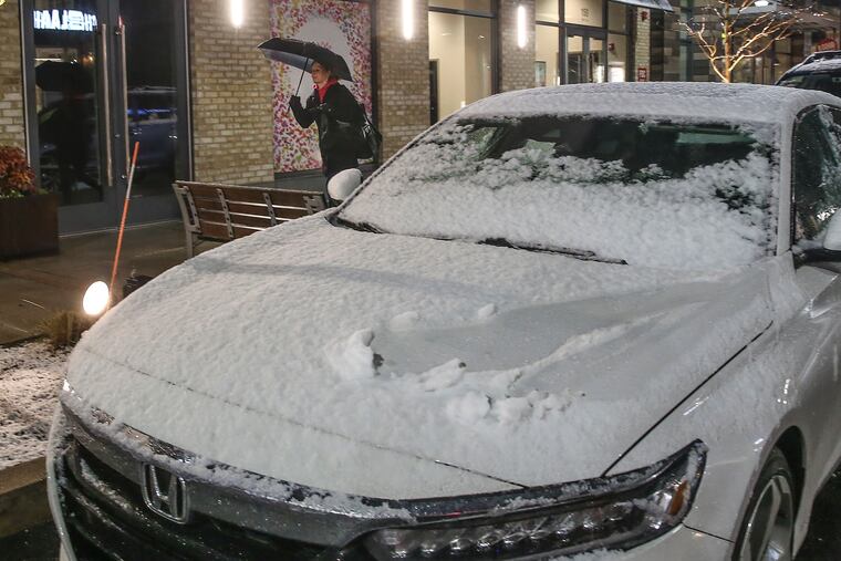
As for Philadelphia, the 0.9 inches that took a mere eight hours to accumulate in Philadelphia on Friday nudged the seasonal total to 7.4 inches.
That’s almost the same as New York City’s, and while both are below normal, they are better than triple the Boston total, which is stuck at 2.3. Eat your heart out, Boston; Raleigh is at 8.9.
This is not to say winter along I-95 is toast. “I would not draw any conclusions,” Sarah Johnson, a meteorologist at the National Weather Service, said Saturday night. “We all know what happened last year.”
She was referring to the March snow-and-sleet fest that celebrated the arrival of the spring equinox. The 7.6 inches measured in Philadelphia was far and away the biggest snow-and-ice total of the season.
The region has had several winters in which the snow was back-loaded. In 1982-83, for example, by this date 7 inches had fallen in Philadelphia. The seasonal total ended up being close to 36 -- a whole lot of it during the Feb. 11-12 blizzard.
But nothing like that is showing up through midmonth (subject to change, of course). Temperatures are due to remain above seasonal normals through the workweek and flirt with an early-April-ish 60 on Tuesday and Friday. A cooldown is due next weekend.
The government’s Climate Prediction Center’s forecast leans toward seasonal temperatures in its 8- to 14-day outlook.
In the meantime, with the burgeoning warm-up, the Delaware Valley Regional Planning Commission has issued a “code orange” air-quality alert for Sunday for Philadelphia and its neighboring Pennsylvania counties for high levels of particulates.
That’s the result of an inversion that is trapping the irritants that can be hazards to people with heart and lung problems. Cold air rises over warm air, but in an inversion layers, the higher atmosphere is cooler than the rising air, thus trapping it near the surface.
The alert could persist through Monday, and conditions might not improve until a front comes through late Tuesday, according to the government’s AirNow site.
In any event, it’s almost certain the air quality will improve before any snow prospects.