So where is winter? Philly-area rivers have been a’gushing, and here comes more rain.
Thanks to ultra-generous rains, both the Schuylkill and the Delaware River hit record flow levels last year.
Not even a decent snow rumor is stirring as we enter what traditionally is the coldest period of the year, but evidently we won’t have to worry about drought for awhile.
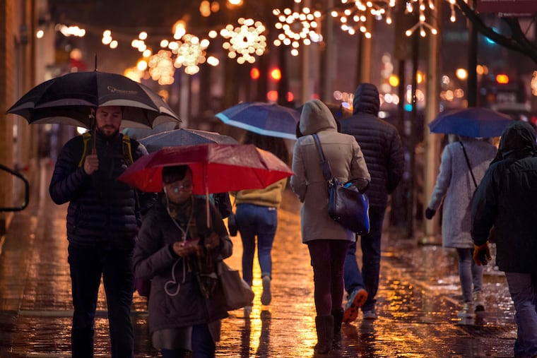
The first weekend of the new year features the same old forecast of yet another rainstorm, with an inch or more of rain by day’s end Saturday, due to land atop ground already soggier than a saturated kitchen sponge.
This after Philly came within a quarterback sneak of setting an annual rainfall record in 2018.
With 0.67 inches on New Year’s Eve, the final, official total at Philadelphia International Airport was 61.52 inches, close to 20 inches above normal, and No. 2 on the all-time list that dates to 1872. The raining champ remains 2011, the year of Hurricanes Irene and Lee, at 64.33 inches.
That year marked the last time that the region experienced major riverine flooding. Fortunately, no repeat occurred in 2018 despite all the rain, but all that water did work the Delaware River and the Schuylkill into a lather.
In fact, the Schuylkill set an annual record for average stream flow in 2018, according to the Delaware River Basin Commission. The measurements were taken near the Fairmount Water Works, and reliable data go back to 1932.
The Delaware had its second-highest stream-flow level, averaged out over the whole year; the readings were taken at Trenton.
The “salt line” — a key drought indicator that is the demarcation between drinkable and salt-contaminated water — is near the Chesapeake-Delaware Canal, 10 miles farther south than normal.
Rainfall amounts have been generous all along the river basins. In Upstate New York, near where the Delaware begins, Binghamton recorded its second-wettest year.
And the Schuylkill no doubt was swollen by the dramatically heavy rains in Berks County during the summer. For the year, Reading was creamed with just over 68 inches of precipitation in 2018, better than 2 feet above normal.
The immediate Philadelphia region had more than its shares of creek spills and road closings but was spared widespread catastrophic flooding.
Measurable rain fell officially on 40 percent of the days in Philadelphia in 2018 — the average is about once every three days — but while the region had several decent dousings, it did not have an Irene-level event.
Right now, 2019 is beginning to look a lot like last year. The region had that precocious snowfall in mid-November, but since then, “winter has been almost totally nonexistent,” Dave Dombek, a veteran senior forecaster at AccuWeather Inc., said Friday.
This weekend’s rains will be generated by a storm that will take a coastal track, one usually associated with snow in January. However, the atmosphere across much of the country has been flooded with milder Pacific air. Temperatures will crest in the 40s on Sunday in Chicago, where a certain football game is scheduled.
The storm traffic remains brisk, and that’s probably the result of the El Niño warming of surface waters across a continent-size patch of the tropical Pacific.
Dombek believes that in all likelihood at some point late in the month or sooner, enough polar air will migrate far enough south to have a meet and greet with one of those storms, and awaken the plows and salt-spreaders.
