More snow, rain, ice, maybe all three; then 100 percent chance of January
Equinox is coming, but winter isn't budging. A significant storm is brewing, and then it gets mighty cold.
The trees are budding; the bird chorus is swelling; and, officially, spring has begun — but only in the meteorological community.
As further evidence that the atmosphere pays scant attention to meteorological bookkeeping, the region is experiencing something resembling true winter, and that will continue well into the first week of March and perhaps longer.
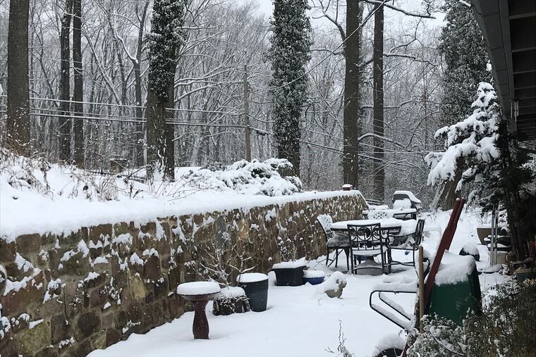
After Friday’s snowfall, an official 3 inches at Philadelphia International Airport — the biggest of 2019 — the region appeared to have dodged a potential coating of snow Saturday. Instead, most areas saw patchy drizzle in the morning.
However, the career of a coastal storm almost certain to affect the region Sunday night into Monday remained a serious threat that could make for a messy commute to start the week. A mixture of rain, snow and sleet could begin late Sunday night with accumulations of one to three inches possible, according to the National Weather Service.
As so often happens, Philadelphia appeared right on the boundary between generic cold rain, significant snow and/or ice, and some unpleasant combination thereof.
The favored area Sunday for heavy snow was the interior Northeast, but “it wouldn’t take much of a shift” to cause a substantial accumulation near Philadelphia, said Jonathan O’Brien, a meteorologist with the National Weather Service office in Mount Holly.
The storm was due to race across the country after having spent time in the data-void regions over the Pacific Ocean. Its fate probably won’t be become clear until late Saturday, said Paul Walker, senior meteorologist at AccuWeather Inc., after it has spent some time over land, where it can be better observed.
“The system is just now coming into the West Coast,” he said. “Some of the models don’t have a whole lot of information.” AccuWeather was calling for a mix for Philadelphia, and perhaps a foot or more in the Poconos.
O’Brien said another compounding factor is the suddenly brisk storm traffic.
Sunday’s would be the second storm to affect the region in three days, and its predecessors would have lingering impacts on the atmosphere that could affect how intense the potential nor’easter becomes and the path it eventually takes.
Friday’s snow arrived at an inopportune time, starting before the March sun even stood a chance. Up to 4 inches was measured around the region. But the sun got its turn, despite the cloud cover, and by mid-morning the blacktop would not be denied, making life easier for home-bound commuters.
One thing that forecasters said was an absolute certainty was that January cold will follow the Sunday-Monday storm.
Temperatures Monday won’t get out of the 30s, forecasters said, and might not see 30 on Tuesday and Wednesday. Normally, the highs during the first week in March should be near 50.
The chill might spill into the following week. The government’s Climate Prediction Center’s 6- to 10-day outlook has readings below normal through most of the nation, and ranks the forecast a 5 on its 1-to-5 certainty scale.
The actual astronomical spring begins at 5:58 p.m. EDT March 20 (yes, that is daylight saving time); the meteorological community divides the year into four tidy, three-month packages.
And the cold could have one temporary positive effect, said Donald Dvorin, the allergist who is the region’s official pollen counter: The cold is likely to kill the mood for the trees, and that’s likely to delay the onset of the annual pollen release.