Philly region’s first big snowfall of the season will be followed by bitter cold temperatures
Philadelphia schools will be on a two-hour delay Monday.
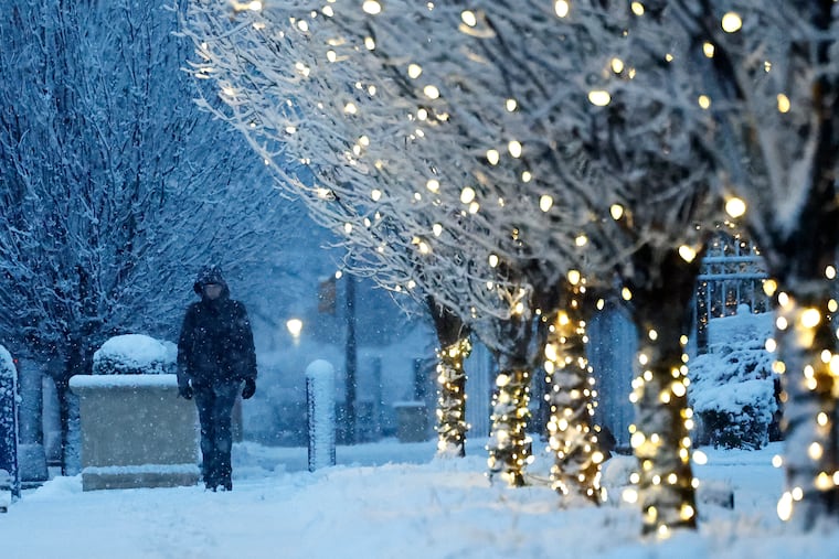
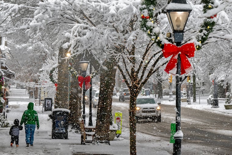
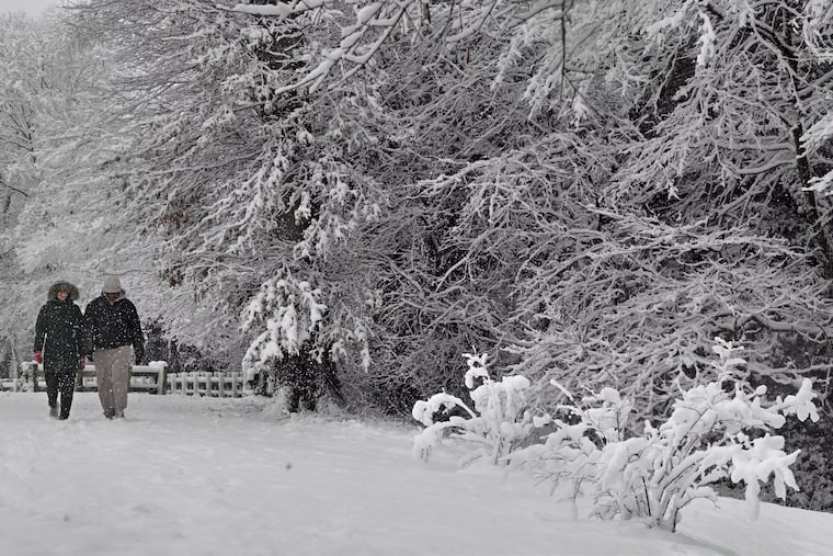
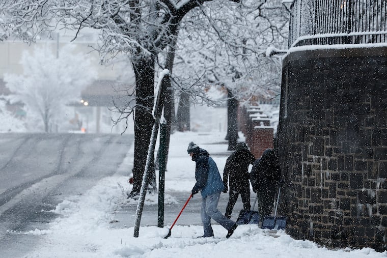
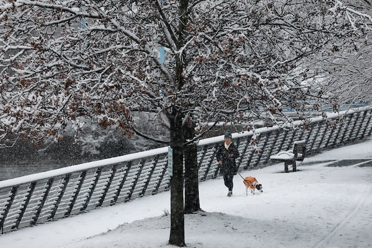
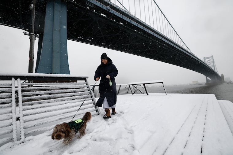
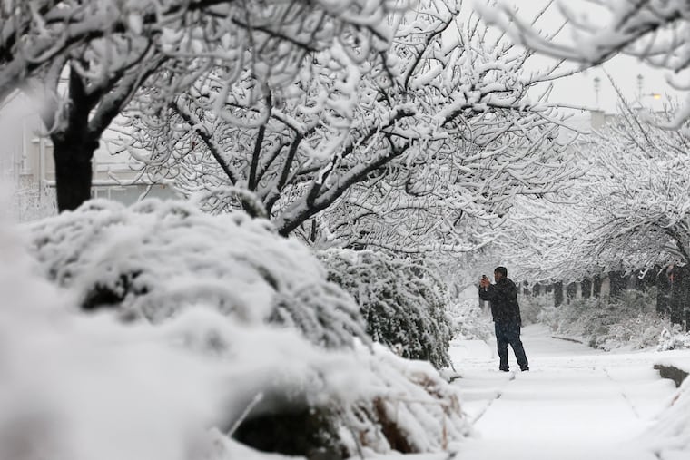
Philadelphians awoke to the first significant snowfall of the season on Sunday, with 3 to 7 inches of snow blanketing the area.
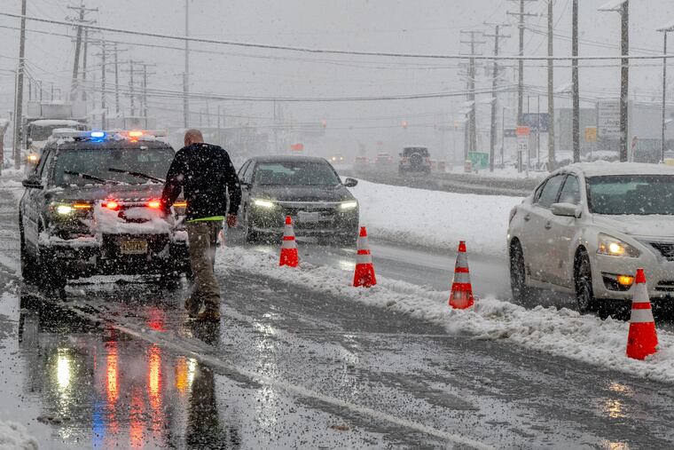
And although the worst of the snow was over, high winds and increasingly dangerous icy conditions will be moving in, forecasters said.
While temperatures were in the upper 20s on Sunday afternoon, they’ll be very different when commuters set out on Monday morning.
“We are expecting a pretty strong blast of Arctic air moving in,” leaving temperatures in the mid-teens, said Alex Staarmann, a meteorologist with the National Weather Service in Mount Holly.
With snow on the ground and temperatures below freezing, Philadelphia schools will be opening two hours late Monday.
Archdiocesan high schools and parish and regional Catholic elementary schools in the city will also operate on a two-hour delay. (Catholic schools in suburban counties generally follow their local districts’ lead.)
“The safety and well-being of our students are our top priorities,” Superintendent Tony B. Watlington Sr. said in a message to district families. “We are encouraging students, families and staff to travel safely tomorrow morning.”
Students who arrive late because of weather challenges won’t be marked late, and weather-related absences will be excused if a parent or guardian sends a note.
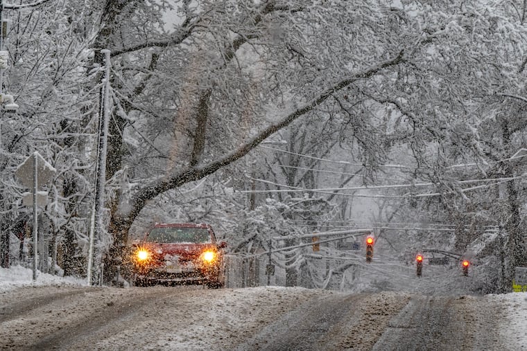
While some plowed streets and shoveled sidewalks may have been cleared by Sunday afternoon, cold winds Sunday night into Monday morning may blow a thin layer of snow back onto roads, Staarmann said.
Winds are forecast to pick up, from 10 to 20 mph, with gusts up to 35, he said. That could make for dangerous conditions.
“If there’s any slush or snow melt on the roads or pavement from today, it certainly could refreeze if it’s not treated,” he said.
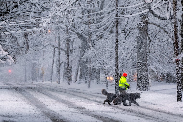
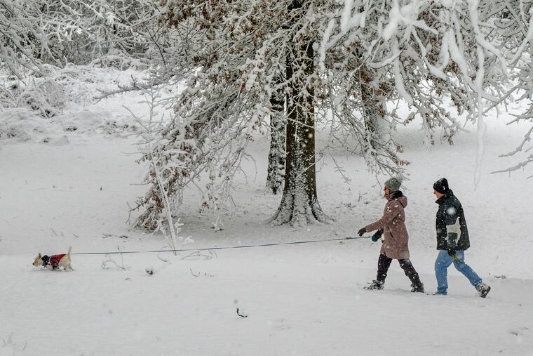
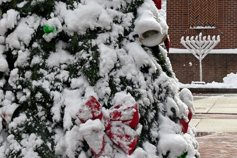
Totals for the storm, which hit the area around 11 p.m. Saturday, slightly exceeded earlier forecasts of 3 to 5 inches. Areas north of the city, like Doylestown and the Trenton airport, saw closer to 7 inches.
“This snow is generally a wetter snow,” Tyler Roys, senior meteorologist at AccuWeather, said. “It’s heavier to move. It’s not easy as if it were fluffy snow. This one is going to take a little work.”
Colder air will follow on the heels of the snow system, with Monday morning temperatures hovering in the teens.
Icing will be an issue until temps rise later in the week.
At the height of the storm, more than 26,000 Peco customers experienced outages across the region, said spokesperson Matt Rankin.
By late Sunday afternoon, around 3,000 customers remained without power. Crews were out working to get power restored to customers as quickly and safely as possible, Rankin added.
SEPTA spokesperson Andrew Busch said crews would be monitoring for icy or dangerous conditions as the temperatures fall.
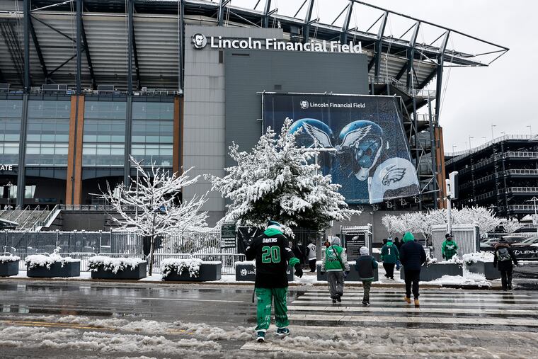
Eagles fans traveling on the Broad Street Line reported some significant delays shortly before kickoff, with at least one train reportedly stalled for 15 minutes near the Walnut-Locust station, passengers said. Busch said the temporary slowdown and crowding had been due to a train being pulled out of service near Erie Avenue, but that the situation had been resolved.
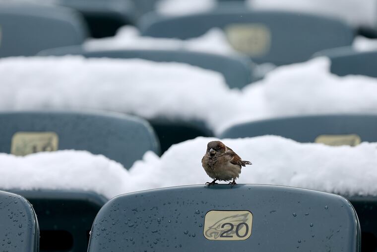
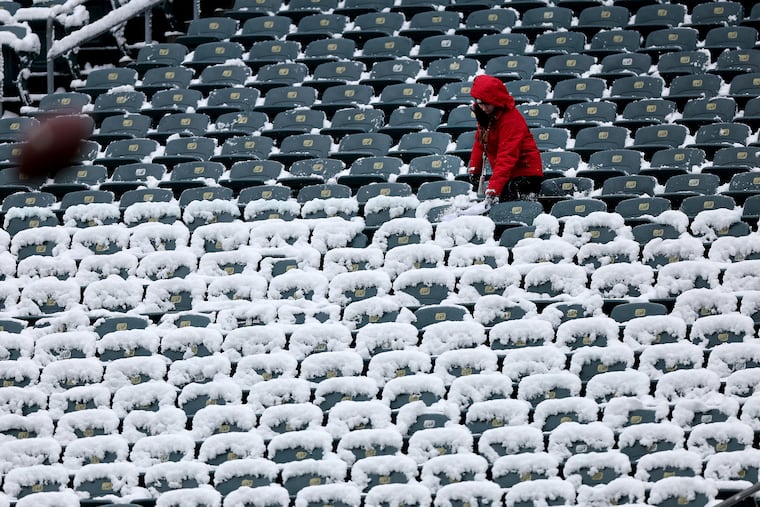
At the stadium, tailgaters were not deterred by the snowy conditions.
“It’s been great,” said Jim Carroll, of Warren County, N.J., sipping a pregame beer in the parking lot outside the Linc with friend Jim Singer. “Brutally cold, but setting up for a big Eagles victory so it’s all good.”
It was still snowing when Robert Rodriguez and Victor Sierra of Burlington County, and their family members, arrived hours before game time.
Sure it was cold, said Rodriguez, a season ticket holder for over 25 years. But he wouldn’t miss for it any amount of snow.
“The beauty of it’s perfect,” he said, nodding toward the snow-capped stadium in the distance.
Philadelphia International Airport was experiencing heavy delays with the effects of the storm, with over 182 flights delayed and 17 cancellations, said airport spokesperson Heather Redfern.
With planes being deiced for takeoff, departing flights were experiencing delays of about 38 minutes, Redfern said.
The airport briefly halted ground traffic earlier Sunday morning, as crews tended to icy conditions.
Monday afternoon is forecast to be warmer but still below freezing, with temperatures in the mid to high 20s.
Without much snow melt by Tuesday morning, dropping overnight temperatures could mean more trouble for some commuters for a second day.
“That could still produce some spotty black ice or refreezing of snow melt,” Staarmann said.
Higher temperatures on Wednesday should help remaining ice and snow to melt.. But AccuWeather senior meteorologist Chad Merrill said changing weather conditions later in the week could pose a problem for some regional commuters: A new front may bring rain Thursday night into Friday morning.
“Sometimes when you have this Arctic air mass that lingers, even though the temperatures are going to warm up this week, the ground is still very cold,” Merrill said.
That’s a recipe for a different challenge.
“So, there is some potential that when this front comes through Thursday night and Friday morning, that there could be some limited visibility due to fog,” Merrill said.


