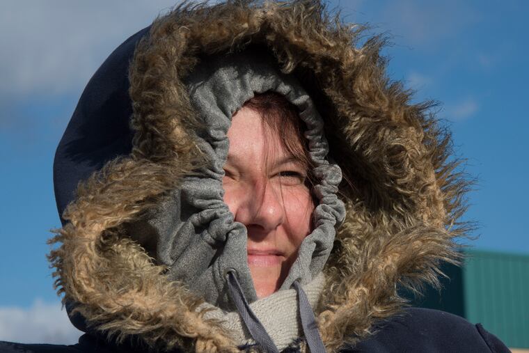
Freaky cold and possible snow on the way
In the same week that the government warned of "unprecedented warming" in the Arctic, the frigid air mass that has iced much of the nation is about to produce one of the coldest mid-December days on record in the region.

In the same week that the government warned of "unprecedented warming" in the Arctic, the frigid air mass that has iced much of the nation is about to produce one of the coldest mid-December days on record in the region.
After the chilliest overnight since mid-February, temperatures Friday afternoon won't make it out of the 20s around here, forecasters say, which would make this one of the 10 coldest Dec. 16s in the 143 years that the government has been keeping score.
The region also might even see its first measurable snow of the year early Saturday, perhaps an inch or so, although computer models late Thursday appeared to be backing off on the potential. In any event, a changeover to that holiday favorite, the wintry mix, and rain were expected first thing in the morning, with temperatures shooting into the 40s, closer to normal for this time of year.
"Whatever accumulates will go away pretty quickly," said Lee Robertson, meteorologist with the National Weather Service office in Mount Holly. But another Arctic invasion is due early next week.
Wind chills Friday, mostly in the teens, won't be quite as harsh as the single-digit figures on Thursday, but they probably come with a particular sting. because people aren't used to it yet.
Through the first 15 days of last December, the Philadelphia temperature averaged a balmy 51.5 degrees; this time around, they are averaging about a dozen degrees lower.
Across the nation last year, high-temperature records were smashed in an incredible period of December warmth. Quite the opposite has been true this month.
Temperatures in the Midwest this week have been 20 to 30 degrees below normal in some places, the Associated Press reported. Officials in Vermont - yes, Vermont - were warning residents to limit their time outdoors at least through Friday, with dangerous wind chills of minus-35 in the forecast. Some schools and government offices closed early in Upstate New York ahead of lake-effect snows.
So what explains the frigid outbreak?
Ironically, say some experts, those unusually mild conditions at the North Pole might be a culprit.
Judah Cohen, a scientist with Atmospheric & Environmental Research in Boston, said warmth at the top of the world correlates well with frigid spells in the Midwest, Mid-Atlantic, and Northeast.
The cold is being orchestrated by the "polar vortex," an obscure phenomenon usually admired only by weather geeks that has become a national celebrity. It is a swirling mass in the upper atmosphere, always present around the North Pole. Arctic warming indicates a weakened vortex, making that upper-level swirling mass susceptible to breaking off and migrating south, transporting cold air, Cohen said.
"I would definitely attribute this cold blast to a weakened polar vortex," he said. When the vortex is strong, it confines the cold to the polar regions.
Incidentally, Cohen said the models indicate it should strengthen, which might be a source of comfort for energy consumers - not to mention the Arctic.
Based on the government Arctic Report Card, assembled by a research team and released Tuesday, the usually frozen north could use a nice chill-down about now.
Temperatures for the 12-month period that ended Oct. 31 were about 3.6 degrees above the 1981-2010 period, the 30-year "normal."
Mark Serreze, director of the National Snow and Ice Data Center, said the warming likely is a mix of greenhouse warming and natural variability. "I would say it is somehow a combination," he said.
What it will all mean for the rest of the region's winter is impossible to say - in the near term.
Incidentally, if it does snow, it will be measured officially at Philadelphia International Airport. For the last several years, that chore belonged to a contractor in National Park, across the river in Gloucester County.
Although it is returning to the airport, however, it still won't be measured in Philadelphia. That task will be performed by new contractors on the Tinicum Township side of the line, for reasons that have nothing to do with evading the soda tax next year.
610-313-8210 @woodt15