Bolaris: This storm was quite the snow job
Holy snow job, Batman!
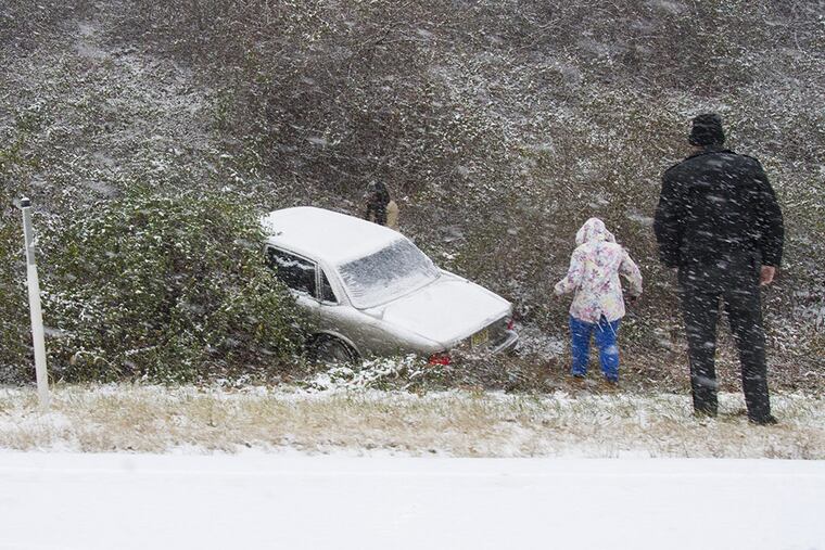
Sunday's flash snowstorm buried not only Lincoln Financial Field, but the I-95 corridor from Philly south to Newark, Del. and east across southern New Jersey with the exception of the shore.
I'll be very honest with you, although I did see the snow coming, not in any meteorological computer mind did we see snow piling up at a rate of 1-3 inches per hour in such an intense, relatively narrow band of geography. It was fascinating from a meteorological point of view but I'm sure many of you felt quite differently, maybe thinking of your weatherfolk, #*!!@ idiots.
This super freaky type of storm, however, was missed by every single computer model.
There was some hinting that a snow growth episode this morning was trying to form: one specialized super-high resolution model was painting a 3-6 inch snow bullseye that waffled back and forth from southern New Jersey, then shifting northwest toward the southern end of the Lehigh Valley. But even that model failed to accurately estimate the amount of uplifting and forcing of moisture (known as "frontogenetic forcing"), which is indicated on future radar as banding features.
Looking at this feature it appeared like an upside-down question mark extending from northern Maryland across southern New Jersey. This did set off alarm bells, but by that time you are now playing what I call NOWCASTING, trying your best to update as snow growth explodes and snow amount forecasts go boom or bust quickly.
In other words we failed you and may not have adequately warned you of the severity of the storm that was taking place. That is a meteorologist's worst nightmare. I know it's mine.
If I were to grade myself, I'd give myself high marks for giving you days of warnings that snow and ice were headed this way, but I failed on the extreme snow amounts. For the record, originally I was going 1-3 inches then raised it to 4-6 inches on Sunday morning. As far back as two weeks ago, I alerted to a storm threat for this time frame.
This was a snowfall record for Dec. 8 for the city of Philadelphia. The city officially picked up 8.6 inches of snow, burying the old record of 3.5 inches set back in 1989.
The following towns all set snowfall records for the date:
Cherry Hill - 8 inches
Medford - 9.4 inches
Newark, Del - 12 inches
Wilmington - 8.5 inches
Lindenwold - 8.8 inches
Deptford - 9 inches
And at the Linc (taken from the closest observation point at National Park, N.J.) - 8.6 inches
As for the Eagles and their fans, this will go down as one of the most memorable snow jobs ever.
Chip, don't forget to thank the weatherman.
John Bolaris