Hard freeze and winter prequel coming. Flakes nearby next week?
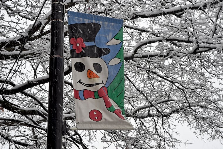
Next week the region is expected to get another taste of December. The Poconos might even see some flakes on Saturday.
'Tisn't the season yet, but it's about to feel like it.
Philadelphia's first, plant-killing hard freeze of the season is expected Sunday morning in the wake of this rather significant coastal storm that soaked the city with close to an inch of rain on Friday.
The predicted weekend afternoon temperatures, in the mid-40s, would be about normal for Christmas Day. Winds gusting to 35 mph might produce wind chills in the 30s Saturday, and the temperature is due to fall to 30 Sunday morning.
And next week the atmosphere is due to mimic January. "That air mass … is real impressive," said Dave Dombek, a meteorologist with AccuWeather. "We actually have a shot at dipping into the 20s" on Thursday morning, and it's possible that temperatures don't get out of the 30s on Wednesday.
Sleet actually was sighted Friday morning in Montgomery County, where temperatures flirted with freezing, and the weather service says some snowflakes could fly early next week as nearby as the Lehigh Valley.
Whatever else does fall out there, leaves almost certainly will — and that will pose hazards. Leaves clog drains, leading to road-flooding, and wet leaves can be as slippery as ice; just ask Septa and Patco.
The leaves have been hanging tough in what has been an extraordinarily late foliage season, probably the result of the ultra-warm start to October and the general wetness. Marc Abrams, a Penn State professor who is a foliage expert, says that in his 32 years of observation he never has seen color this late.
But in SEPTA parlance, Philadelphia's first true freeze — when the temperature at the official measuring station reaches 32 — would be arriving on or close to schedule.
In the third millennium on average it has been occurring on Nov. 14, an entire week later than it did in the 20th Century.
Tradition associates frost with Halloween around here, and that's reasonable; frost can occur when above-ground temperatures are over 32 when air comes on contact with colder surfaces such as car roofs, and some outlying areas already have hit freezing.
But officially, the first official hard freeze in the city should be associated more with post-election analyses than pumpkins.
In the period of record, dating to the 1870s, the average date of that first freeze has been Nov. 7, but the date has shown tremendous decadal variability. In the 1960s, it was Oct. 25; in the 1930s, Nov. 16.
Next week the region is expected to get an even stronger taste of December, and the weather service says mixed precipitation could fall in close by as the Lehigh Valley at the onset of what should be a rainstorm Monday into Tuesday.
In any event, odds favor the chills persisting until well into next week.
For now, the atmosphere is taking on quite a wintry look over the Eastern half of the United States, with broad upper-air low pressure, commonly associated with cooler temperatures, due to persist into next week.
In case you're interested, the average date for the first measurable snowfall in Philly is around Dec. 11.
