Philadelphia weather this week: Warmth, followed by a chance of snow
Tuesday's high will make it feel like T-shirt weather, but keep those winter coats handy - a bit of snow could be on its way by the end of the week, according to the National Weather Service.
From spring-like temperatures to a chance of snow? Say it ain't so.
Forecasters are predicting a real trip through the seasons this week, with the mercury climbing up to the low 60s Tuesday, followed by a quick drop could even mean some snow before the weekend rolls around, according to the National Weather Service.
Tuesday's chance of rain will mostly impact the evening commute, with showers expected in the afternoon and throughout the night. The warm weather will make it feel like T-shirt season, but don't be fooled — Tuesday's low should drop to around 40 degrees, becoming windy with gusts up to 24 mph.
Wednesday might feel a bit more like the beginning of December, with sunshine warming up the region to close to 50 degrees before skies become partly cloudy, with a low of 35.
Keep those heavy winter coats handy — temperatures will continue to drop over the rest of the week, with a sunny day expected Thursday, with a high of 44 degrees, before becoming quite chilly with a low of 29 degrees.
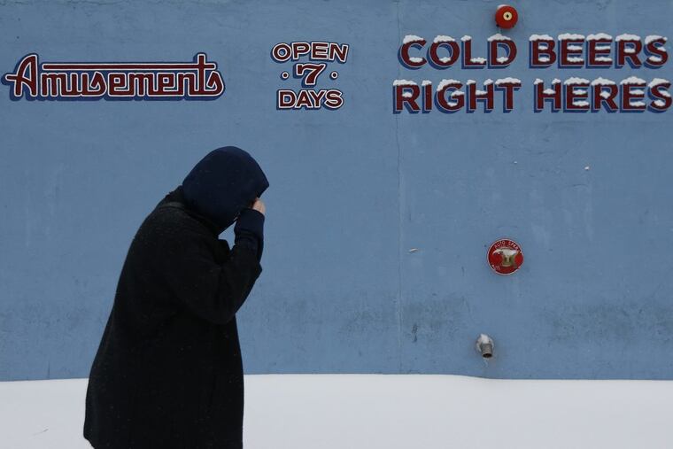
Winter is upon the City of Brotherly Love on Friday, with temperatures reaching just 39 degrees with a slight chance of rain and snow after 4 p.m. Then, there's a chance of snow between 7 p.m. and the early hours of the morning. There's a 30 percent chance of precipitation. Friday's low will drop to 29 degrees.
The weekend forecast won't get much warmer, with Saturday's high forecast to hit just 40 degrees, with another slight chance of snow showers at night, when temperatures should drop to 27 degrees.
What exactly to expect toward the end of the week will be dependent on how closely a storm moving up to the north lands along the East Coast, as well as its proximity to the Atlantic Ocean, according to AccuWeather forecasters.
"A storm that tracks close to the coast and gains only a moderate amount of strength would be successful at bringing a stripe of accumulating snow from New York City to Boston and perhaps as far to the southwest at Philadelphia and Washington, D.C.," AccuWeather Chief Meteorologist Elliot Abrams said in an update Tuesday morning.
Abrams said that "at the very least," the Northeast part of the U.S. should be in store for "some sort of wintry precipitation."
So is the rollercoaster weather indicative of a future full of Kleenex and chicken noodle soup? Hardly, according to the University of Pennsylvania Health System.
A post from Penn Medicine that dispels winter health myths notes that it's not cold weather that causes sickness, but rather germs. The colder the weather, the more likely a person will spend time indoors and in close proximity with other people.
The best ways to prevent illness this winter are by getting a flu shot, properly washing your hands, eating well and exercising.