SEPTA gives its bus network map an upgrade
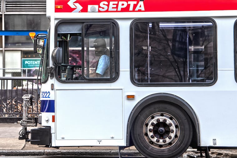
The new maps highlight SEPTA's 19 most frequent routes.
SEPTA’s current transit map, the big picture depiction of all buses, subways, and trolleys in the city, shows a web of indistinguishable red lines twisting among city streets.
This map, largely unchanged from ones used by the Philadelphia Transit Company in the 1940s, has long been criticized as both frustratingly uninformative and excessively detailed.
Starting Wednesday, SEPTA is offering Philadelphia riders an alternative.
Two new bus network maps are being posted on the transit agency’s website with the request for feedback from the public. The maps use color and thickness of lines to emphasize the city’s most frequent routes among its 125, allowing someone to see at a glance how long they will likely have to wait for a bus.
“It’s letting people know what routes they can kind of show up at the corner, and maybe not consult a schedule, and feel comfortable that one will be there quickly,” said Jennifer Dougherty, SEPTA’s manager of long-term planning.
One map shows routes citywide, the other shows just SEPTA’s most frequent routes. The maps focus largely on city bus service.
Thick lines with a reddish hue indicate routes that provide service at least every 15 minutes during much of the day, five days a week. SEPTA announced last week a spring schedule that increased the number of high frequency routes from 10 to 19.
Routes that provide service no less than every 30 minutes are colored teal, and those with hourly service are gray. Showing frequency with both color and the thickness of lines, which mimics how major highways are depicted on road maps, gives users multiple ways of interpreting the map and is a help to people with color blindness, Dougherty said.
The maps aren’t geographically precise, though, planners said. They sacrificed specificity for clarity, so the route lines don’t show every turn a bus takes.
“The intention of the map is to give a more high level idea of what our network is like,” said Lex Powers, one SEPTA’s planners.
Precise route maps are still going to be available online and through SEPTA’s app.
It’s an approach that matches what Thomson Kao wanted SEPTA to do. Kao, who works for a nonprofit residential developer in the city, created his own bus route map in 2016 as a personal project and to show that a better representation of the network was possible.
“It’s beneficial for a variety of people to know how to get more utility out of, frankly, the really good public transportation system we have,” he said.
Kao, who studied urban planning, credited SEPTA with designing a map that went for clarity, rather than precision.
“A system map, you’re trying to get the big picture and you’re trying to figure out just in general what services connect with each other,” he said.
Getting the new design to sync with the app remains a challenge, planners said. Coding difficulties mean the new map won’t be available through the app, Dougherty said. In the coming months, the agency will seek to make it usable and interactive on smart phones.
For now, Dougherty said, the map will be available on SEPTA’s website at septa.org/frequency, along with a link where people can provide feedback. Users can download a version of the map onto smart phones.
Powers, the SEPTA planner, said he began experimenting with designs for a better bus map more than a year ago when he was hired.
“It started as a background project,” he said. “It just sort of gained traction very quickly I think because people understood why it’s very useful.”
SEPTA looked to multiple sources for inspiration, officials said. They examined unofficial efforts like Kao’s. A version of the new map appeared in a report on Philadelphia’s bus network released last year by transit guru Jarrett Walker. Cities like Austin, Washington D.C., and Indianapolis have designed maps that emphasize frequency. In Indianapolis, Dougherty said, a new bus map was credited with boosting ridership 7 percent from spring to fall 2018.
And SEPTA needs a boost. Data from 2017 showed a 10 percent drop in bus ridership over the prior year. Totals for 2018 weren’t available Tuesday, but SEPTA documents suggest ridership shrunk again in 2018. From July 2018 to this January, surface vehicle travel in the city was down almost 5 percent compared to the same period a year earlier, a loss of $3.4 million in fare revenue.
>>READ MORE: Why is Philly still stuck in traffic?
Walker’s report was the first step in redesigning the bus network, but it will likely take three years. This week the agency also launched its first new bus route in a decade, the Route 49, designed to attract workers in the booming employment hub of University City. An express bus running on Roosevelt Boulevard will likely lead to dedicated bus lanes there. Dedicated bus lanes, which give buses their own travel lanes apart from car traffic, are a tool other cities are using to improve service.
SEPTA planners intend to collect feedback over the next four months, and in June are to unveil a final version of the bus maps. Printed schedules will be color-coded with the same scheme used on the maps to further emphasize the routes that offer the most frequency.
