Waymo robotaxis are helping cities map potholes. Could Philly be next?
The self-driving car company is partnering with Waze, the crowdsourced GPS navigation app, on a pilot program to map potholes in five cities.
Mayor Cherelle L. Parker wants a $7.1 million “Pothole Squad” to fix cratered Philadelphia streets year-round.
Waymo might be able to help.
The self-driving car company announced Thursday that it was partnering with Waze, the crowdsourced GPS navigation app, on a pilot program to map potholes in five cities using the vehicles’ perception and feedback technology.
Waymo is launching the program in the San Francisco Bay area — where it serves 260 square miles from the city to San Jose — and the Los Angeles, Phoenix, Austin, and Atlanta metro areas, spokesperson Ethan Teicher said.
The company’s fully autonomous electric vehicles provide robotaxi service to the public in all of the cities. Waymos are also available to people in Miami, Houston, Dallas, San Antonio, Orlando, and Nashville.
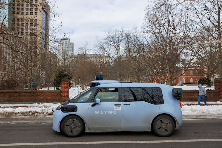
The pothole program will be expanded to Philadelphia alongside its ride-hailing service. As it has for months, Waymo said Thursday that it has no timeline for when it will begin offering rides in Philadelphia.
It does not yet have regulatory approval to carry passengers in Pennsylvania.
Waymo has been testing the cars in Philadelphia for several months, however, with PennDot certification.
It’s not clear whether the city will have any regulatory role. Under a 2022 Pennsylvania law legalizing the commercial operation of “highly automated vehicles,” PennDot was given that authority.
Waymos use LIDAR, which emits millions of infrared laser pulses per second that bounce off objects to make a 3D map of the autonomous vehicle’s physical surroundings. The cars are also outfitted with cameras and radar, which regulates their speed.
Pothole data from this formidable array will be available to cities and state departments of transportation through the free Waze for Cities platform, alongside user-reported potholes, Waymo said.
“We want to build on the safety benefits of our service by partnering … to help improve the infrastructure we all depend on,” said Arielle Fleisher, manager of policy development and research at Waymo.
Other, presumably human, drivers will be able to access pothole warnings mapped by the autonomous vehicles, as well as user-reported information, via Waze and Google Maps.
Waymo is a Google spinoff owned by parent company Alphabet.
