A ‘super El Niño’ is brewing. It could mean a quieter Atlantic hurricane season this summer.
In the way-early going some meteorologists are calling this a potential “Super El Niño” with profound impacts. But that's not an official term.
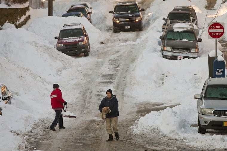
The blossom season has barely begun after what turned out to be a surprisingly eventful winter in Philadelphia, but the weather community — and social media — already are abuzz over the prospects for the hurricane season and the winter of 2026-27.
Scientists with the National Oceanic and Atmospheric Administration, commercial services, and research institutions agree that a significant warming over a vast expanse of the tropical Pacific is destined to ripen during the summer and persist through the fall and winter seasons.
The warming — an El Niño event that recurs every three to seven years — is brewing in the tropical Pacific.
In the way-early going, some meteorologists are calling this a potential “Super El Niño” with profound impacts as the warm waters interact with the overlying air to disrupt the atmospheric circulation worldwide.
What is a ‘Super’ El Niño?
It is not an official government term, advises Michelle L’Heureux, a meteorologist who is the El Niño team lead at NOAA’s Climate Prediction Center, but is used by some commercial services and private meteorologists.
In its latest update, NOAA listed an 83% likelihood of an El Niño, defined as sea-surface temperatures reaching about a degree Fahrenheit above normal for several months over a 2.4 million-square-mile expanse of the east-central tropical Pacific. That’s an area about 70% of the size of the contiguous United States.
NOAA sees a 33% chance the sea-surface temperatures rise to at least 2.7 degrees above normal, which the agency “informally” calls a “strong event,” L’Heureux said, and a 13% chance they increase to 3.6 degrees above normal or higher. That would rank with the disruptive events of 2015-16, 1997-98, 1982-83, and 1972-73 as among the strongest on record.
AccuWeather Inc. is more bullish on the potential, seeing a 40% chance that it reaches that latter level.
Why does the Pacific become so warm?
Precisely how a warming planet and general increases in ocean temperature are affecting El Niños and their impacts continue to be a focus of research and debate.
The temperature fluctuations are part of a natural process that has been ongoing for at least centuries. On occasion, the east-to-west trade winds that pile up warm water in the western Pacific slacken, allowing mass quantities of warmer water to slosh eastward. Peruvian fisherman centuries ago noticed that the tepid waters put the kibosh on the anchovy catch and called it El Niño, a Spanish reference to the Christ child since this tended to happen around Christmastime.
The name has endured, although the warming properly is part of the El Niño Southern Oscillation, an oceanic-atmospheric seesaw that has warm; cold, or La Niña; and neutral phases.
According to the Climate Prediction Center’s Monday update, the Pacific technically is still in La Niña; however, instruments that measure to depths more than 1,000 feet are signaling that El Niño will be taking over.
What happens when the waters warm
Weather moves west to east, and in terms of El Niño’s effects on North America, changes in winds and rainfall make a difference, too.
“It isn’t enough for only the ocean, by itself, to change — most of El Niño’s global impacts depend on the pattern of tropical heating and rainfall shifting in a certain way, too," L’Heureux said.
The increased evaporation from warmer water sets off strong storms that energize the upper atmosphere and the weather-ferrying winds.
With the increased evaporation of the tropical waters, “you’re going to get a stronger subtropical jet stream,” which would mean a brisk southern storm track across the southern United States, said Chad Merrill, senior meteorologist AccuWeather Inc.
Will that mean stronger hurricanes this season?
It turns out that El Niño may have a benign side.
Hurricane researchers such as Philip Klotzbach at Colorado State University have documented that El Niño can have a dampening effect on incipient tropical storms by generating shearing winds that tear them apart before they can mature.
In the strongest El Niños since 1950, the Atlantic Basin has experienced on average about seven named storms, those with winds of 39 mph or higher. That’s half of the long-term average.
What will all this mean for winter in Philly and the Northeast?
It’s impossible to know for sure, but Merrill suggested the winter is likely to be strange or very strange.
One leitmotif of the strong El Niños has been persistence: What happens tends to keep happening as upper-air patterns remain in place.
That makes sense, given that the Pacific temperatures take their good old time changing once an El Niño matures.
In the four winters since 1950 coinciding with sea-surface temperatures 2.7 to 3.6 degrees above normal, snowfall has been above average, including the winter of 2009-10, when a record 78.7 inches was measured in Philly. Average temperatures were close to long-term normals.
But during the four events above the 3.6-degree level, the winters in Philly have been surreal. The city experienced its only snowless winter, in 1972-73, and just 0.8 inches fell in the 1997-98 winter as a succession of coastal storms ripped sand off Jersey beaches. A 21.3-inch blizzard occurred in February 1983. The winter of 2015-16 was one of the warmest on record, yet snow was well above normal, thanks to a two-footer in January.
L’Heureux cautions against reading too much into the long-term outlooks. El Niño interacts with everything else, another additive to the chaos of the atmosphere.
“People tend to take the strength of El Niño and assume that a ‘strong event’ means strong impacts over their house. That might happen, but it’s far from a sure thing.
“There are no guarantees in seasonal climate forecasting.”
