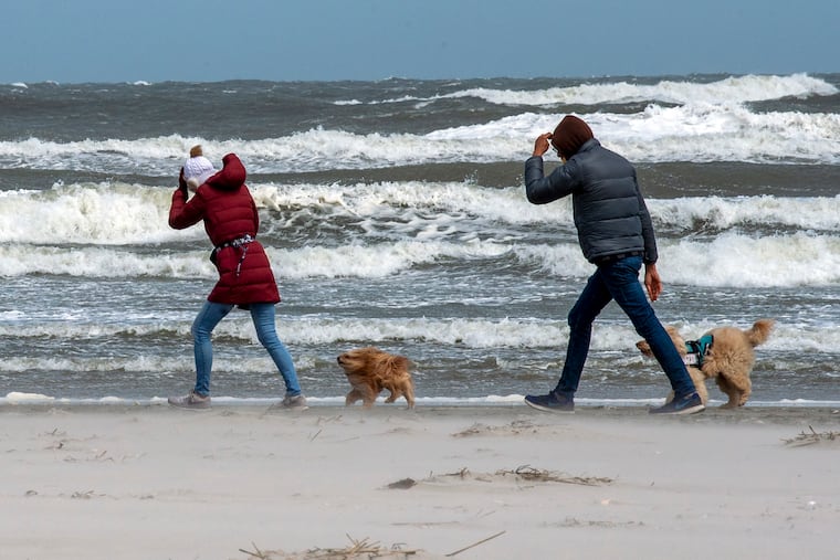
Wind warnings for gusts to 60 mph; ‘widespread’ power outages likely in Philly region Friday
Such end-of-April wind storms are unusual around here. Strong winds could persist for 16 hours Thursday into Friday.

» UPDATE: Follow along here for the latest updates on Friday’s strong winds
After a brief flirtation with June-like heat, the atmosphere is executing about a decent impersonation of March.
In what meteorologists say is at the very least highly unusual for this particular turn of the calendar, the National Weather Service has posted a high wind warning from 2 p.m. Friday through 4 a.m. Saturday, for gusts up to 60 mph or more throughout the region. Winds already were gusting to 40 mph in Philadelphia by noon, and to 43 mph at the Shore.
The weather service also has issued a storm warning for the Shore in effect from 6 p.m. until 6 a.m. Saturday and is advising mariners to stay in port and secure their vessels.
This is not to be confused with a “typical early-March event” before the leaves were popping, said Nicholas Carr, a meteorologist with the weather service office in Mount Holly. What is different now is the fact that the arms of trees are carrying so much more wind-catching, green weight than they were just a week ago. The weather service said that “widespread power outages” are likely.
» READ MORE: The tyranny of the buttercups: Lovely, and taking over the Philly region with a big assist from the weather
Peco is aware of the threat and will have extra crews available, said spokesperson Kristin Pappas. At lunchtime Peco was reporting about 1,400 scattered outages.
“Falling trees or tree limbs may bring down power lines,” the weather service says, warning that “this will be a very long duration wind event with potentially significant impacts to the area.”
The timing
Gusts are forecast to reach gale force, 39 mph, by late morning Friday, climb toward 50 mph during the afternoon, and exceed 50 mph late Friday night into early Saturday.
Sustained winds of 20 mph or more are forecast to persist for 16 hours, starting at midmorning Friday. The timing should be similar across the region.
Behind the bluster
Two days after the region was teased with the highest temperature readings since September, a potent cold front is due to cross the region Friday.
Powerful upper-air winds from the northwest will mix down to the surface. “The mixing will be enhanced later in the day,” said Carr, and peak after nightfall. That also would be unusual: Typically winds die down after sunset.
» READ MORE: More than 100 wind-damage reports but no tornadoes in Philly region; cool weather for Phillies’ opener
Jim Eberwine, a former weather service marine forecaster and now an emergency-management official in Absecon, said he couldn’t recall a wind event such as the one forecast occurring at the end of April.
Strong winds this time of year usually are associated with severe thunderstorms, not with frontal passages.
What’s ahead
High temperatures will be in the mid-60s Friday and Saturday, about where they should be. That’s also conveniently close to room temperature, so at least any power outages should not cause any serious indoor thermal issues with loss of heat or air-conditioning, Carr noted.
A warm-up is due to take hold Sunday with highs near 80 and the low 80s at the start of the workweek, not quite in the league with Wednesday’s high of 87, but those days are coming.