Icy conditions are possible Saturday night into Sunday in the Philly area
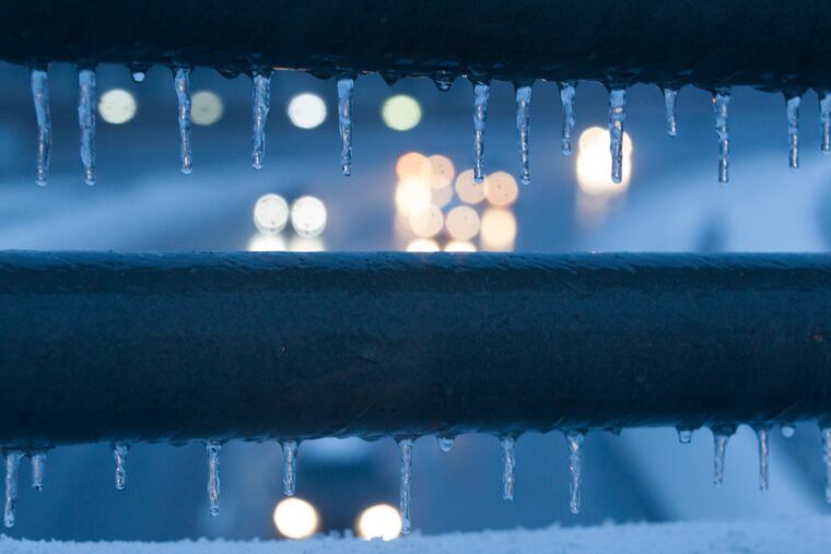
Even a "trace" of ice is dangerous, and that's what prompted the advisory.
It looks like the atmosphere isn’t going to show the region much love on Valentine’s Day.
After a light layering of snow and sleet on Saturday afternoon, the Philadelphia region could be in for a potentially dangerous glazing of freezing rain Saturday night into Sunday, and the National Weather Service has posted a winter weather advisory.
No more than an inch of white stuff is expected, said Valerie Meola, a meteorologist at the National Weather Service Office in Mount Holly, but even a “trace” of freezing rain automatically sets off an advisory, she said.
“It’s been awhile since we had a decent freezing-rain event,” she said, and people might have forgotten how troublesome even a veneer of ice can be on the roads and underfoot.
Precipitation amounts are expected to be quite light, with no more than a tenth of an inch of rain. However, temperatures at the surface will be below freezing, the rain will fall at night, and chances are good that it will coat much of the region with an insidious layer of ice, the weather service says.
This won’t be a snow event because the region will be under an atmospheric parfait, with temperatures in the upper levels above freezing.
The precipitation likely will shut off Sunday morning with surface readings possibly nudging into the mid-30s. More wintry mess is possible Tuesday and later next week.
For now, at least, it appears that the run of the post-card snows is over.
.
