After first snowflakes, record cold, single-digit wind chills expected for Philly area
Three records could fall Wednesday, and SEPTA is wary of cold stress on Regional Rail overhead wires.
Furnaces throughout the region are in for a serious workout as temperatures are forecast to break records Wednesday with a stinging northwest wind greeting morning commuters with single-digit wind-chills.
SEPTA crews will be checking on Regional Rail overhead wires, which are especially vulnerable to extreme temperature changes, spokesman Andrew Busch said Tuesday night. "There’s potential for them to expand and contract,” he said, adding that commuters should check the agency’s website or Twitter account in the morning.
Along with its first snowflake sightings, the region has experienced a dramatic reversal of temperature fortunes, from a high of 58 in the early morning hours Tuesday to the 30s by lunchtime, and that was just a warmup. Three low-temperature records could fall Wednesday.
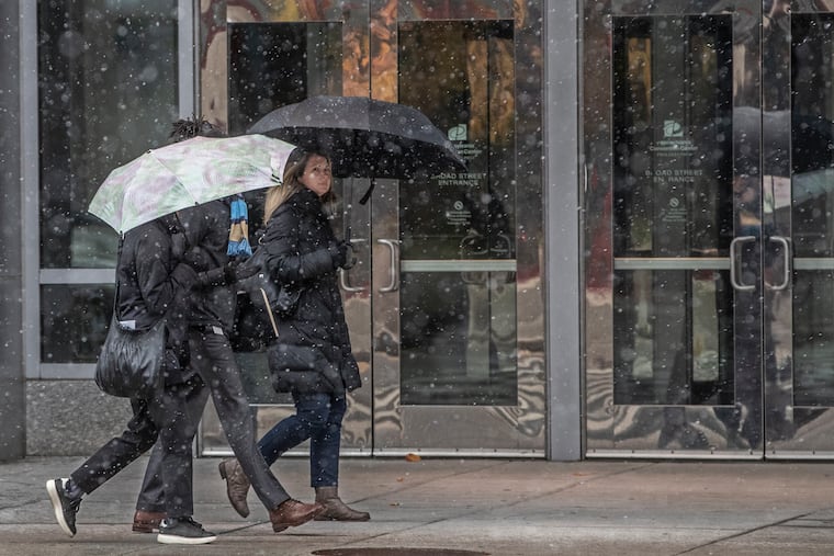
Officially, Philadelphia received a “trace” of snow, but it was the first official appearance of snow in the daily climate summary for the 2019-20 season. Atlantic City tied a snow record for the date. So what if it was only a trace?
From the city on north and west, what amounted to a white rain didn’t last long, but some areas well south and east of Philadelphia saw a longer and heavier period of snow, the result of what the National Weather Service called a “weak wave.”
The main event will be the big, albeit short-lived, chill.
“Man, it’s going to be cold,” Lee Robertson, a meteorologist at the weather service Office in Mount Holly.
Said Niki LoBiondo, a meteorologist with AccuWeather Inc., “It’s definitely going to be a shock to people.”
After hitting 66 degrees Monday, Tuesday’s high, which was recorded for five hours straight after midnight at Philadelphia International Airport, was 58. But it rapidly became a meteorological upside-down day with the mercury falling as an impressive early-season Arctic mass, a chunk of the dreaded polar vortex, chases a front that is bringing the region a period of rain.
But, sorry, snow-lovers, the Arctic cavalry arrived too late for any significant snow.
The weather service’s forecast low for Nov. 13 in Philadelphia is 21 degrees; the standing record is 24, set in 1996. The predicted high of 36 would challenge the 35 of 1911 for the lowest maximum temperature for the date, and the daily average of 28.5 would beat 1911′s 30.5.
The normal high for Nov. 13 is 55.
“We are going to see temperatures that would be considered cold in the coldest part of winter,” said Jonathan O’Brien, a meteorologist at the weather service office in Mount Holly.
Normal daily minimums in Philadelphia get no lower than 25; the highs, no lower than 40. Wednesday’s average temperature would be 4 degrees below that of a typical day in the heart of January.
Wind chills around daybreak will drop to 10 in Philadelphia and in the single digits outside the city on both sides of the river, the weather service says, with a stiff northwest wind.
Temperatures are due to revisit the 20s early Thursday, followed by a moderating trend with temperatures reaching the 40s in the afternoon and 50 on Friday.
“It’s going to be a pretty short-lived cold blast,” said O’Brien.
Looking ahead, he said, the outlook favors the winter-phobes: “It looks like we’ll be warming up the end of the month.”

