Snow squalls and single-digit wind chills: An arctic front is about to hit the Philly area
Winds could gust to 40 mph, and expect the coldest morning since Feb. 2, with wind-chills of 5 degrees and lower.
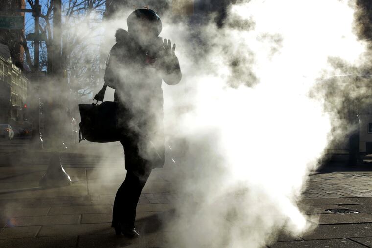
A potent arctic front crossing the region will chill the Philadelphia area with its lowest temperature readings since Groundhog Day and could touch off snow showers and disruptive snow squalls into Wednesday evening.
Not to be confused with flurries, squalls essentially are blizzards without attention spans, sometimes lasting no more than 10 or 15 minutes. They can reduce visibility dangerously and put down a fast accumulation.
A burst of heavy snow dusted parts of the Philadelphia area about 3 p.m., although it didn’t quite qualify as a “squall,” said Dean Iovino, a meteorologist at the National Weather Service office in Mount Holly.
Throughout the region, winds could gust to 35 or even 40 mph into Wednesday evening, the weather service says.
Temperatures were expected to tumble toward 20 by midnight and fall into the mid-teens by daybreak, which officially would be the lowest temperature in Philadelphia since the 11 of Feb. 2.
The gusts will back off overnight, but steady winds from the northwest will drive wind chills into the single digits.
Temperatures won’t get out of the 20s on Thursday, but a slow moderation is forecast to build temperatures back toward seasonal normals by the time the winter solstice occurs Saturday, with daytime highs in the 40s.
As for snow, not even a decent rumor is on the horizon for the next several days beyond the squall threat Wednesday.
