Freezing fog expected early Friday, could make roads slippery in Philly region. Snow threat next week?
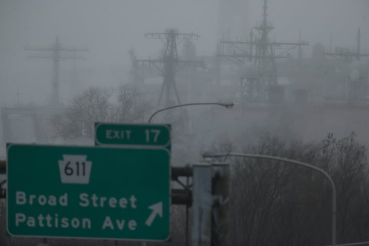
Dense fog also could reduce visibilities dangerously.
For the first time since two winters ago, the National Weather Service has issued a “freezing fog” advisory, warning of the potential for black ice to form on road surfaces.
It is also possible that motorists will have to dust off the ice scrapers, said Lee Robertson, meteorologist with the National Weather Service Office in Mount Holly. And it is also possible they made need more than scrapers next week.
While freezing fog is not quite as perilous as freezing rain, it is stealthier, capable of producing wafer-thin layers of ice invisible to drivers.
The freezing potential would be especially high on bridge surfaces, the weather service said. In addition, fog is forecast to drop visibilities to a half-mile or less.
» READ MORE: Feds’ updated winter forecast favors warmth here and in most of the nation, especially December
This is the first freezing fog advisory the Mount Holly Office has issued since Feb. 19, 2019.
The agency said conditions overnight will be ripe as clear skies and lethargic winds will allow temperatures to plummet into the 20s in some parts of the region The air will be moist enough to allow fog to form, and once it does the lack of wind will inhibit dispersal, and the low sun angle at daybreak won’t be much help in burning it off.
The tiny water droplets in fog can freeze instantly when they contact a cold surface. The weather service advised that lower elevations and river and stream valleys would be especially fertile areas for fog to form.
» READ MORE: How much snow for Philly this winter? After a bust year, TV meteorologists take their shots
Temperatures are due to push above freezing by mid-morning, and once the sun has its morning coffee, afternoon temperatures should soar well into the 50s.
They’ll had back that way Saturday and Sunday, with rain possible, before a cool-down early next week and potential winter storm.
As of late Thursday, computer models were taking a storm on a track along the East Coast, with a shot at the season’s first measurable snowfall.
“It looks like much of the area could see some snow at some point during the event, with an accumulating snow possible for some areas,” the weather service said.
“Early signs” indicated a “potential blockbuster” storm, said AccuWeather Inc.
For those keeping score, 648 days have passed since the last time an inch of snow fell upon Philadelphia.
