Possible tornado reported in Delaware as severe storms rip through the Philly region and rout the heat
Temperatures Friday and Saturday will be about 10 degrees below normal. At least two heat-related deaths have been recorded in Philly so far this summer.

The potent thunderstorms that have routed the heat wave might have spawned a tornado near Milford, Delaware, that hurled trees into houses, and cars were blown off the road on Route 13 in Kent County, according to National Weather Service storm reports.
The weather service also carried numerous reports of downed trees and wires in Bucks and Chester Counties.
A severe thunderstorm watch for South Jersey remained in effect until 8 p.m.
A first wave of showers began moving through the region late in the morning, and while the weather service hadn’t issued a “soggy-roll watch,” Wawa decided to move its annual Hoagie Day, scheduled to start at noon, to inside the Constitution Center.
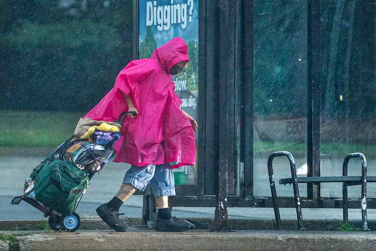
The “main show” came later in the afternoon as more potent storms plow west to east, and after four days of shirt-soaking heat, the soaking rains came.
“There’s a lot of juice in the atmosphere,” said John Feerick, senior meteorologist with AccuWeather Inc.
We noticed. The juicer in this case was an approaching front that promised to chase the heat and set up a rather coolish start to the July Fourth weekend.
Wednesday qualified as the hottest day of the season to date, with the temperature reaching 97 officially at Philadelphia International Airport, the highest since July 3, 2020.
» READ MORE: The longest days of longest season: What to know about the summer solstice
It likely would have been higher if not for all the humidity that diverted some of the sun’s heating energy but drove the heat index to as high as 106.
No heat-related deaths have been recorded this week in Philadelphia, but the Public Health Department reported Wednesday that two had occurred earlier — one on June 21 and another on June 8. No details of the fatalities were available.
By Friday, this hot spell will be in retreat, with temperatures topping out around 80, several degrees below normal, with similar readings Saturday, and lingering showers possible.
» READ MORE: Philly’s summer temps have risen 3 degrees since 1970 — and nights have gotten even warmer
It should warm modestly on Independence Day, with highs around 80 and maybe a “pop up” shower, said Feerick. Monday should be absolutely gorgeous: dry and highs well into the 80s to near 90.
Another pulse of heat, albeit not as ferocious as this one, is due next week.
“It’s summer,” said Feerick. “Get used to it.”