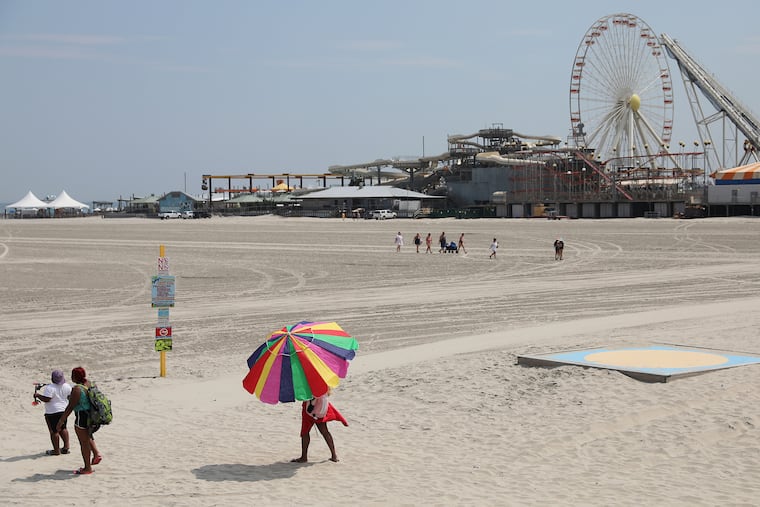
Labor Day weekend weather in Philly region looks as good as it gets
The forecast calls for four consecutive clear days, something that hasn't happened since July 2019.

The National Weather Service typically doesn’t issue alerts or advisories for these things, and don’t expect your phone to go crazy, but the region is about to experience one of the most incredibly splendid weather weekends of a turbulent year.
“It’s about as nice as it possibly gets,” said Dave Dombek, a meteorologist with AccuWeather Inc. For once, absolutely no thunder, no lightning, no tropical remnants, no rain — not even a chaos-of-the-atmosphere random drop — is expected to fall at least through Monday.
Even clouds should be sparse, with highs around 80 or a little warmer, low humidity, comfortable nights, and ocean-water temperatures in the mid-70s.
Friday and all three days of the holiday weekend are expected to meet the government’s official criterion for “clear.”
“How’d we manage that?” said Patrick O’Hara, a meteorologist at the weather service office in Mount Holly.
His incredulity is understandable. Philadelphia had a grand total of four clear days in all of July and August, and hasn’t had three consecutive such days in three months, and the last time it had four of them in a row was in July 2019. (The government defines “clear” as a day in which the sky is 30% cloud-covered or less.)
The front is forecast to cross the region Friday and be the vehicle for a refreshing air mass from Canada and the Great Lakes region.
Rain and cloud-suppressing high pressure is forecast to dominate into early next week, and the forecast has no mention of even a shower until Wednesday.
» READ MORE: Summer of 2020 was third-hottest on record in Philly as warm-night trend continues
All three days of the weekend are expected to be spectacular, but Dombek said Saturday might be the crown jewel as the clearest and most comfortable of the three, followed closely by Monday. Some high clouds are possible Sunday, he said, but that would be in the category of saying Mona Lisa might need dental work.
“Overall, it’s a really great stretch,” he said.
In the meantime, any tropical-storm or hurricane threats remain days away, although the tropics remain quite active.
Two disturbances were cooking off the coast of Africa on Thursday, with one likely to grow into Paulette, the 16th named storm of the season, by the end of the holiday weekend, the National Hurricane Center.
When Omar formed on Tuesday, it set a record for the earliest-occurring 15th named storm, those with winds of at least 39 mph, in the Atlantic Basin.
» READ MORE: Tropical Storm Nana threatens Central America. Omar forms as hurricane season threatens alphabet