Snow and ice are expected Tuesday in Philly, but a warm-up is on the way
A winter weather advisory is in effect for the Philly region.
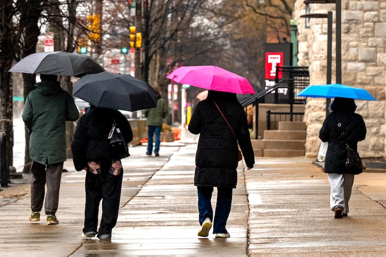
The remnants of winter are about to go on spring break — or at least yield to a “dirty warm-up” — but they evidently are going to take a messy parting shot at the region Tuesday morning.
The National Weather Service has posted a winter weather advisory effective at 5 a.m. until 11 a.m. for the entire region for a mix of snow (not much) and ice beginning around daybreak before flipping to just plain rain.
The precipitation is expected to start around daybreak as snow that won’t be plowable, or maybe even visible, but the more significant threat would be a glaze of freezing rain, said Nick Guzzo a meteorologist with the National Weather Service Office in Mount Holly.
At most, snow would accumulate a few tenths of an inch, he said, transitioning to freezing rain and just plain liquid rain throughout the region before the morning is over.
But coinciding with the peak morning commuting period, the timing is a concern, he added.
Temperatures are due to be near freezing when the precipitation gets underway but climb into the mid-30s by midmorning. The March sun should make quick work of melting anything that freezes on the roadways.
Then the temperature might not drop below freezing for the next 10 days, and make it to 70 degrees Sunday.
But don’t expect it to be “bright and beautiful,” said Bob Larsen, senior meteorologist with AccuWeather Inc.
A major pattern change is underway across the nation
“It’s what we like to refer to as a ‘dirty warm-up,’” said Larsen. Here’s the dirt: It is due to be cloudy at least through Friday with rain possible Thursday and Friday and highs in 50s. Normal highs are in the upper 40s.
The sun is due back Saturday with readings in the 60s, and perhaps into the 70s on Sunday, but with another chance of rain. Larsen said at least two days, and maybe four, next week are expected to feature highs in the 70s, before a cool down perhaps next Thursday or Friday.
The surges of mild air are related to a major pattern change in the upper atmosphere. For the last several weeks, the atmosphere has aligned to favor cold, snow, and ice in the East and springlike temperatures in West.
That’s about to reverse, as the West gets its turn with winter and the East gets a spring tease.
But don’t put in the screens just yet, Larsen advises.
“March can be a cruel month,” he said, and winter isn’t prone to go gently. “We’re not going to slam door on it yet.”
He that some signs are pointing to a more-wintry end to the month, which would not be at all unusual.
“In my mind there’s only two seasons, summer and winter,” Larsen said, and spring and fall are when they fight their turf wars.
