Winter storm warning for Philly and most of the region, with 4 to 7 inches of snow possible Sunday
A snow threat that disappeared has reappeared.
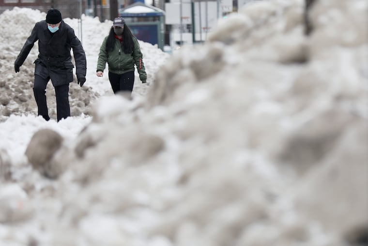
Several inches of snow is expected to land Sunday atop the leftovers of this week’s marathon snow-and-sleet fest.
The National Weather Service has issued a winter storm warning for most of the Philadelphia region, in effect from 4 a.m. to 7 p.m. Sunday, for 4 to 7 inches of snow, although it has shaved an inch or two from the Friday forecast.
Contrary to the 72 hours of snow and sleet that continued from Sunday into Wednesday, this one will be meteoric, the weather experts say, lasting about 12 hours.
Mixing is possible near the Shore, and temperatures during the day Sunday will be close to freezing, forecasters said, but some areas could see as much snow as they experienced earlier this week in one-sixth the time.
This could all still change, given the volatility of the recent computer-model outputs this week.
» READ MORE: Philly recorded 4 straight days of snow for just the 4th time ever and forecasters expect more to come
As dramatic as the weather has been this week in the region, the computers have had an even wilder time. On Monday, some models were suggesting a potentially mammoth coastal storm. By Wednesday, the projected snowstorm had turned to partly cloudy.
Early Thursday, they were seeing a chance for a drive-by brush of snow, and that obviously had changed by Friday. The computers appear to be exhibiting more caprice than the atmosphere itself.
“That seems to be the tale of the winter,” said Valerie Meola, a meteorologist at the Mount Holly office. “It’s frustrating for meteorologists.”
What’s going on? “There could be less data getting into the models,” she said.
» READ MORE: Groundhog Day 2021: Punxsutawney Phil sees his shadow
The coronavirus might be a factor. Aircraft are important sources of upper-air data, and meteorologists around the globe have speculated that the decrease in air traffic resulting from the pandemic has also reduced the observations that are fed into computer models.
Although it would be difficult to tease out the effects, that hypothesis certainly is plausible, Meola said.
Whatever the reasons, for now the forecast is calling for more snow Sunday.
Subject to change.