A major winter storm is looking inevitable for Philly, with the snow expected to stick around
A winter storm watch has been posted for the entire region.
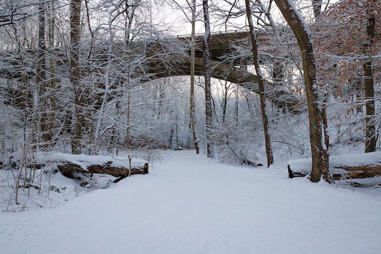
The details are likely to remain elusive well into the weekend, but on Wednesday evidence was accumulating that the Philadelphia region could become a winter wonderland for the remainder of January.
“We’re definitely going to get some snow,” said Alex Staarmann, a meteorologist with the National Weather Service in Mount Holly, which probably won’t make a first accumulation guess until Thursday afternoon. Snow could begin as early as Saturday night and continue into Monday.
The weather service Thursday posted a winter-storm watch for the entire region — for all of Delaware and most of Pennsylvania and New Jersey — in effect from 7 p.m. Saturday until 1 p.m. Monday.
At the weather office, “It’s all hands on deck,” said agency hydrologist Ray Kruzdlo Thursday. The “outside chance” that the region would be spared a major storm “is leaving us.”
AccuWeather Inc. is calling for 6 to 10 inches for Philly, very much subject to change, said senior meteorologist Bob Larsen.
Several inches of snow would be all but certain, the weather service said. Philadelphia could have a 75% chance of a foot or more, based on analysis of a blend of computer models, and a 50-50 shot of 18 inches or more. However, the individual models are having their usual squabbles, with the American being the snowiest.
In any event, Staarmann said: “It could be a significant storm for most of the region.”
And that applies to the rest of the Mid-Atlantic and Northeast. AccuWeather Inc. estimated that snow and ice during the weekend could affect half the nation’s population.
Said Stephen Morgan, a meteorologist with Fox Weather: “It’s one of the most sprawling systems we’ve seen in several years.”
Predictably, computer models have been using the map as a Ouija board, moving around the zones of the expected heaviest snows.
Earlier in the week, it appeared that the region would be near the northern edge of the snowfall; on Wednesday, however, the models bumped the snow north, increasing the chances that snow could mix with sleet and freezing rain in Delaware and South Jersey.
The snow could mix with sleet at the height of the storm even in the Philly region, the weather service said. That would hold down accumulations: Sleet is slow to accumulate. Conversely, since it is pure ice, it is slower to melt.
Should any rain get mixed in, it would freeze on contact: The upper air may be warmer, but temperatures at the surface are forecast to be mostly in the teens Sunday.
The amounts of snow and mixing would depend on the track of a storm that is forecast to develop off the Texas Gulf Coast and track through the Tennessee Valley and off the Mid-Atlantic coast on Sunday. That track ultimately will be determined by other moving parts in the atmosphere.
As the storm intensifies, its onshore winds would import warmer air into the upper atmosphere, changing the snow to sleet and/or freezing rain, but the surface layers would remain quite cold, Larsen said.
Despite the potential mixing, it is at least possible that Philly will get its first double-digit snowfall since Jan. 22, 2018, said Paul Dorian, a meteorologist with Arcfield Weather, based in Valley Forge.
In the short term, Thursday may be a day to savor. It’s heading into the mid-40s, with nothing falling from the skies. The cold begins to filter in Friday, and highs will be in the teens Saturday.
After the precipitation shuts off Sunday night or Monday, whatever has fallen won’t be in a hurry to disappear, Staarmann said.
Temperatures might not get above freezing for several days after the snow stops, he said. Wind chills are expected to be in the single digits Monday morning, and below zero Tuesday.
“This overall very cold weather pattern is likely to continue into next weekend, potentially beyond,” the weather service said.
“The next couple of weeks will feature some of the worst weather winter has to offer,” Dorian said.
Said Fox’s Morgan: “The overall pattern in the Northeast seems to be locked in to a colder than average at least to Groundhog Day.”
Punxsutawney Phil might want a “do not disturb” sign this year outside his burrow.
