Summer outlook: If you can’t stand the heat, you probably won’t like it
The seasonal outlooks are calling for above normal temperatures this summer. For now all this rain is having at least one benign effect, but meteorologists say that will end.
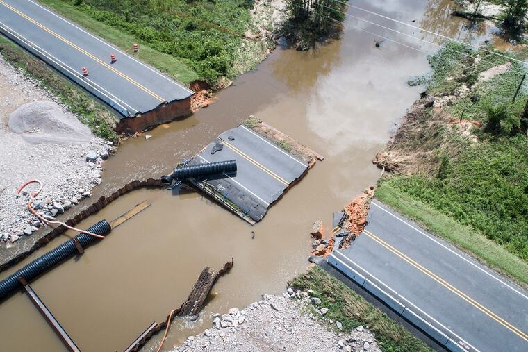
Rainfall has set records in Pennsylvania and New Jersey, and has been worse elsewhere, setting off devastating floods and endangering the nation’s corn crop. The Philadelphia region has had exactly two officially “clear" days since mid-April.
And all that wetness helps explain why the meteorological summer, which began June 1, is off to a gentle start in one important category: temperature. Save for parts of California and the desert Southwest, no area of the country was under any type of heat advisory on Monday.
Locally, the rains are due to shut off Tuesday, and temperatures aren’t expected to see 80 during the workweek. The government’s two-week outlook sees no significant heat threat.
Unfortunately for those who pay air-conditioning bills or don’t particularly enjoy ambling about in a steam bath, that’s not going to continue, not around here, anyway.
At least, according to meteorologists who put together longer-range predictions for a living.
The government’s three-month forecast has quite a warm look in the eastern and western thirds of the country, particularly for the Philadelphia region.
The Commodity Weather Group, which serves agricultural industries, sees the summer becoming progressively warmer, with heat peaking in August in the East.
AccuWeather Inc., the commercial service based in State College, Pa., has temperatures two to three degrees above normal for Philadelphia, which would be a significant departure for summer.
Energy consumers likely are buying some time thanks to the soaked soils, meteorologists say. Wetness retards heating because the sun has to devote energy to evaporating moisture.
“Initially, if these soils are wet, it’s going to take some time before the sun’s heat can dry it out,” said Anthony Artusa, a longer-range forecaster with the government’s Climate Prediction Center.
In some areas, the soils have been as wet as they ever get; that’s the result of an incredibly rainy period across the country.
Last month was the second-wettest May in the contiguous United States in records that date to the 1890s, according to the National Centers for Environmental Information. The 12-month period was No. 1 for precipitation for any 365-day period and the wettest June-through-May period for Pennsylvania and New Jersey.
Not a solitary acre in the country was in “severe drought” as of last week.
But never underrate the evaporative power of the potent summer sun. Temperature conditions, Artusa said, “can flip quickly.”
Max Vido, a meteorologist with AccuWeather, said it appears the upper-air pattern is favorable for expanding the so-called Bermuda high, the heat pump of the East.
That’s a persistent feature, with its center near Bermuda. Winds circulate clockwise around centers, so areas to the west of the center experience steamy winds from the south.
When that high expands, those winds can roast the East Coast, and Vido says a “westward build” appears likely.
Summer heat, of course, is nothing new, and a big factor in the summer outlook is the trend of warmer summers, Artusa said.
In Philadelphia, the average June 1-to-Aug. 31 temperature in the 21st century, 76.6 degrees, is a full 2 degrees higher than the 20th century’s summer temperatures. Worldwide warming appears to be aiding and abetting it, particularly in urbanized areas where data show nights have become warmer.
That might well be the result of increased water vapor; the warmer the air, the more moisture it can hold. The more moisture it holds, the harder it is for the Earth’s heat to escape into space at night.
Moisture content is captured in the dew point, the temperature at which water vapor condenses. It is a better measurement than relative humidity, which tends to fall as temperatures rise, since it’s the amount of vapor “relative” to what the atmosphere could possibly hold.
An analysis of hourly dew points since 1948 shows that summers have become subtly steamier, and that correlates with warmer nights.
Trends, however, have been known to change, or at least lose steam.
And for those who might find the summer outlooks oppressive, don’t despair. Seasonal forecasting remains a work in progress. Summer is particularly elusive, since the atmosphere tends to become like the rest of us, lazy, as opposed to being energized by winter’s sharp temperature contrasts.
“During the summer,” said Artusa, “you don’t have as much to work with.”
