Weekend to stay frigid, forecasters say, but heat wave to near 40 may arrive on Wednesday
“It’s been a long time since we’ve seen this type of prolonged stretch of cold weather,” forecaster Zack Cooper said. “It’s been about 10 years.”
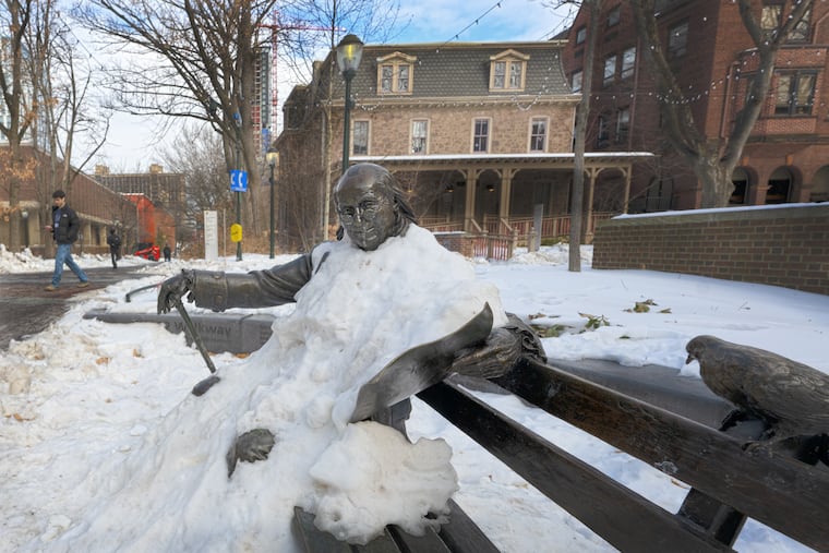
The frigid temperatures, the blocks of ice clogging the Delaware and Schuylkill Rivers, and the mounds of snow piled high in driveways and parking lots across the Philadelphia region are not likely to change much Sunday and Monday, Zack Cooper said Saturday afternoon.
Cooper, a meteorologist at the National Weather Service in Mount Holly, said to expect a high of just 18 degrees on Sunday, a significant drop from Saturday’s high of 28. For Monday’s return to work for many, the weather service predicts a high of 36.
“It’s been a long time since we’ve seen this type of prolonged stretch of cold weather,” Cooper said. “It’s been about 10 years.”
The good news, he said, is that the temperature should peak for the week at near 41 on Wednesday. More good news, he said, is that the daytime highs are expected to reach above freezing for the rest of the week, 36 on Tuesday, Thursday, and Friday, and 38 on Saturday. But the nighttime lows should still dip below the freezing point of 32 degrees.
In that case, Cooper said, some of the ice will melt during the warmer daytime hours but not enough to cause widespread flash flooding near rivers, lakes, and streams. A slow warmup, with warmer days and colder nights, is always best, he said.
That’s also important regarding the giant snow piles around town because Friday was the 12th consecutive day of a snowpack of at least 5 inches at Philadelphia International Airport. In 2014, the weather service issued warnings of flash floods along the Delaware River south of Trenton after a rapid warmup, and a presidential disaster declaration was needed in 1996 when melting ice jams caused major flooding along the Delaware and the Susquehanna Rivers.
» READ MORE: Ice is building on Philly’s waterways as the snowpack persists and the cold intensifies
It’s been a rough February so far for Philadelphia area residents. Daily average temperatures have been below freezing every day since Jan. 23, and the region went nine days, from Jan. 24 to Feb. 2, without reaching 32 degrees at all.
Last week, a barge heading north got stopped in the ice on the Delaware River, ferry service was halted in the Delaware Bay due to ice, and the Coast Guard had to deploy a 175-foot-long cutter to smash up ice floes in the Delaware all the way up to Trenton.
Cooper said the recent nine-day stretch of temperatures below freezing is likely among the top 10 longest local cold snaps on record. The last period of such frigidity, he said, was an eight-day stretch in 2015.
As for the wind chills, Saturday night could reach minus 13 degrees. Sunday could go to minus 12, and Monday could be minus 3. High wind warnings are expected to be lifted on Sunday. No snow is expected next week.
So what should folks do until Wednesday? Hang in there, Cooper said. “We take weather as it comes,” he said. “It’s ever-changing, and you have to adapt and adjust.”
And if it does reach 41 on Wednesday, Cooper said, “It will feel nice.”
