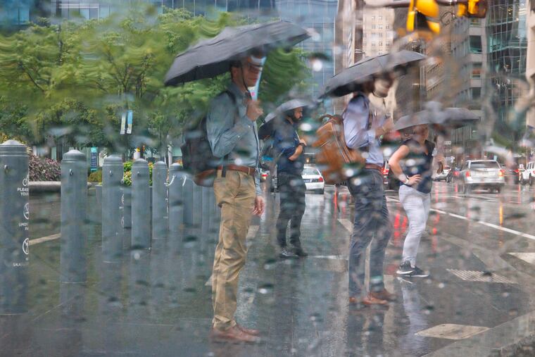
Heavy rains from slow-motion storms flood roads in South Jersey. Another round due Sunday
The heavy rains spared Philly, but the city did set a record for September heat waves.

Storms that appeared to ooze rather than move deluged parts of South Jersey with downpours that set off traffic-snarling road flooding late Saturday afternoon, and forecasters say encores are possible Sunday.
“It looks like there might be one more day of it,” said Matt Brudy, a meteorologist with the National Weather Service Office in Mount Holly. “Pretty much rinse and repeat.”
On Saturday in Camden County rains swamped southbound lanes of I-295 at exit 28 with up to 2 feet of water, and flooding also was reported near exit 29. Flooding also was reported at Route 130 and Route 42.
“Right off the Delaware [River] would have been the heaviest we got today,” said Brudy.
The rains were borne on sea breezes off the Atlantic, he said, and rather than traveling west to east as storms usually do, Saturday’s moved more or less east to west.
Although, in this case, “moved” might be an overstatement. As was the case Friday when Ocean County got hammered, once it started raining, it kept raining. “That’s been part he problem the last couple days,” Brudy said. “There’ just hasn’t been a lot of steering flow.”
Additional rain clusters developed from the storms’ “outflow boundaries” — cool descending air spreading away from a thunderstorm — which can generate more thunderstorms by forcing warmer air to rise and condense.
On Saturday night, heavy rains developed just to the west of the Philadelphia region, at least sparing the Phillies, who actually won.
Showers are likely Sunday and Sunday night, and they might give the region a more-widespread soaking, the weather service says.
Shower chances will persist into the beginning of the workweek, but at least the heat is over.
The official high in Philly reached 91 Saturday, the seventh consecutive day of 90-plus temperatures.
That broke a record for the longest September heat wave that had stood for 92 years. But no more 90s are in sight for the foreseeable forecast future.