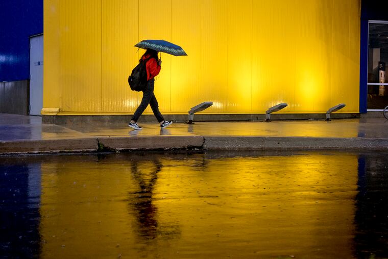
Olga’s remains will help soak Sunday; minor flooding possible at Shore and along Delaware
Up to an inch of rain possible; more to the north and west.

Those clouds that were the only blight on a splendid October Friday and cast a wintertime gray over Saturday afternoon were associated with the short-lived Tropical Storm Olga, the 15th named storm of the Atlantic Basin season.
And Olga’s leftovers are going to be part of an atmospheric stew that will conspire to make for an unpleasant Sunday, with heavy rains expected.
The combination of the rains, onshore winds from the east, and high-tidal new moon could set off some nuisance flooding along the beaches and the Delaware River, prompting a coastal-flood advisory for Sunday.
The National Weather Service says waters could lap a foot above ground level along the barrier islands and flood roads around high time Sunday, which occurs at 7 a.m., and again Tuesday, when high tide is at 9 a.m. and onshore winds return.
Another decent soaking is forecast to get underway during the Sunday early-morning hours and continue heavily into the afternoon, when it is expected to shut off abruptly.
By the time it ends, 1 to 2 inches will have fallen, the weather service says, and after a bone-dry September that would bump October into the well above-normal category.
» READ MORE: Northeast winds that can mean rain and snow threaten California with more fires
Olga’s remains, ingested into a complex storm system, will be “a bit of a factor,” said Sarah Johnson, lead meteorologist at the National Weather Service Office in Mount Holly.
The National Hurricane Center named Olga at 5 p.m. EDT Friday after it had gained 40 mph peak winds, just 1 mph over the naming threshold.
It had a brief and unspectacular career after it formed in the Gulf, and by 10 p.m. had been stripped of its name.
The remnants were forecast to zip north, merge with a cold front, and lose its name. That front is attached to a storm system expected to move into southern Ontario during the weekend.
Johnson said it will spawn another storm that will be centered just north of Philadelphia, and the upshot of it all will be one wet Sunday.
All indications are that the region will survive this, but some road ponding is possible as this is the time of year when leaves can clog storm drains.