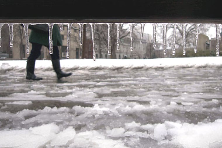
Wintry mix expected to hit Philadelphia region Thursday morning before turning into rain
A winter storm traveling across the country this week is expected to bring a wintry mix of possible snow, followed by sleet, freezing rain, and rain to the Philadelphia region.

The Philadelphia region could be in for a slippery morning commute Thursday as a winter storm that’s been traveling across the country is expected to hit the area.
But compared with Western states that saw blizzard conditions earlier this week, we’re getting off light.
“It’s not necessarily going to be a snow event,” National Weather Service meteorologist Matt Brudy said. “In fact, within our forecast, we have very little — if not no — snow for much of the urban corridor.”
Instead, we’re in for more of a wintry mix of possible snow, followed by sleet, freezing rain, and rain throughout the day. But due to the storm’s potential impact on the morning commute, NWS has issued a winter weather advisory that will be in effect from 5 a.m. until noon Thursday.
Temperatures are likely to hang in the upper 30s to lower 40s for much of the day, Accuweather meteorologist Tom Kines said.
Travelers should expect slippery road conditions as a period of light snow showers hits the region in the morning — likely in the predawn hours around 5 or 6 a.m. That light snow should last about an hour or two before a push of warm air begins to make its way into the I-95 corridor, transitioning the snow into sleet and freezing rain across a three- to four-hour period.
“It will be a battle between when that warm air can make it in and transition it all over to rain, but it looks that could be mid- to late morning,” Brudy said. By the afternoon, we should be dealing with all rain, but forecasters are not “100% confident in the timing” of that transition, he added.
Due to the switch to rain later in the day, the Philadelphia area is not likely to see any significant snow or ice accumulation. Overall, the region should see about 1.5 inches of “total liquid equivalent” precipitation, but forecasters aren’t yet sure how much of that will be snow, sleet, or rain.
Suburban areas north and west of the city, though, could have higher snow and freezing rain totals, but likely not enough to cause significant issues, Kines said.
One longer-lasting potential impact could come from the wind, which is expected to hit up to 30 miles per hour in the afternoon, with even stronger wind expected along the coast. So, if any areas get some ice or freezing rain that accumulates, we potentially could see tree branches coming down, but neither Kines nor Brudy said that was a big concern.
Rain is expected to continue through the first half of Friday. But with no radical drops in temperature expected, roadways are likely to remain clear of ice. The weekend should end up dry and chilly, with temperatures hovering around the 40s.
The local impact of the storm is expected to be a far cry from what we’ve seen in Western states hit by the storm earlier this week. Texas, for example, saw tornadoes that injured seven people, while six others had blizzard conditions. So it could have been much worse.
“We dodged a bullet on this one,” Kines said. “We’ll have to wait for another storm if you’re rooting for snow.”