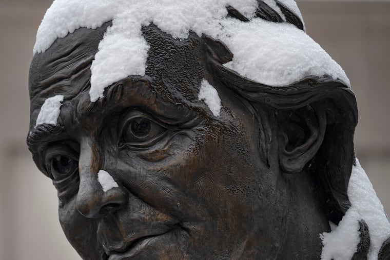
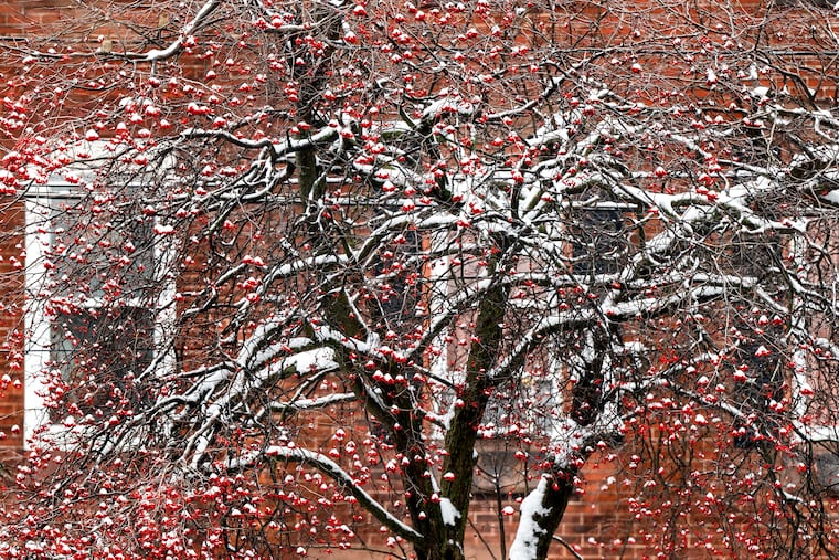
Philly’s snow drought is over, and there’s more wintry weather and snow on the way
The existing snowpack is likely to turn to icy rock by Wednesday morning. And another 2 to 4 inches of snow is possible Friday.
So, that’s what it’s like.
Winter, that is. Expect at least six more days of it.
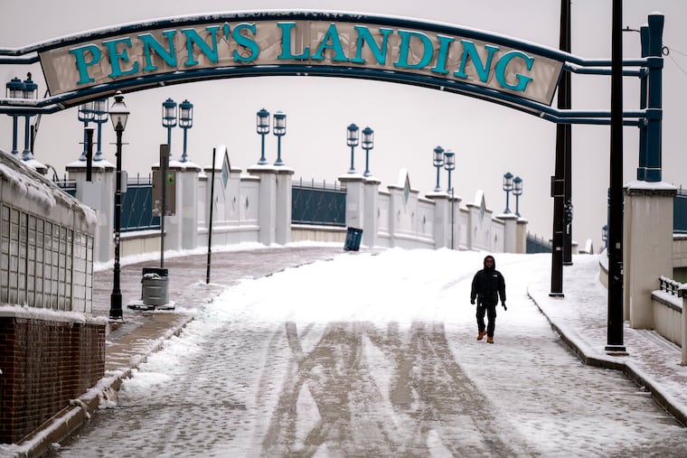
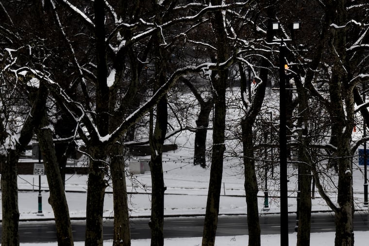
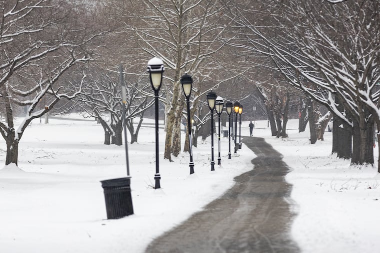
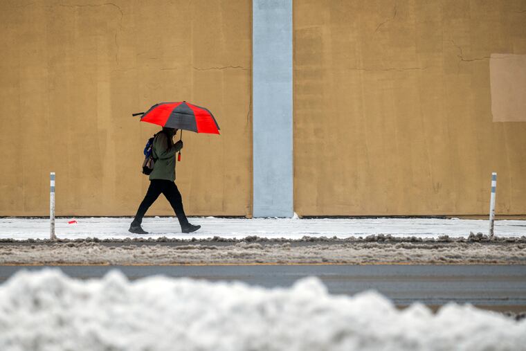
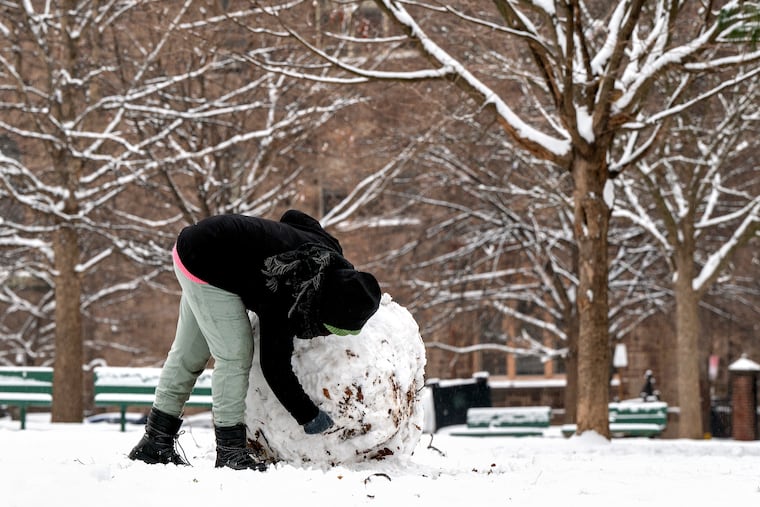
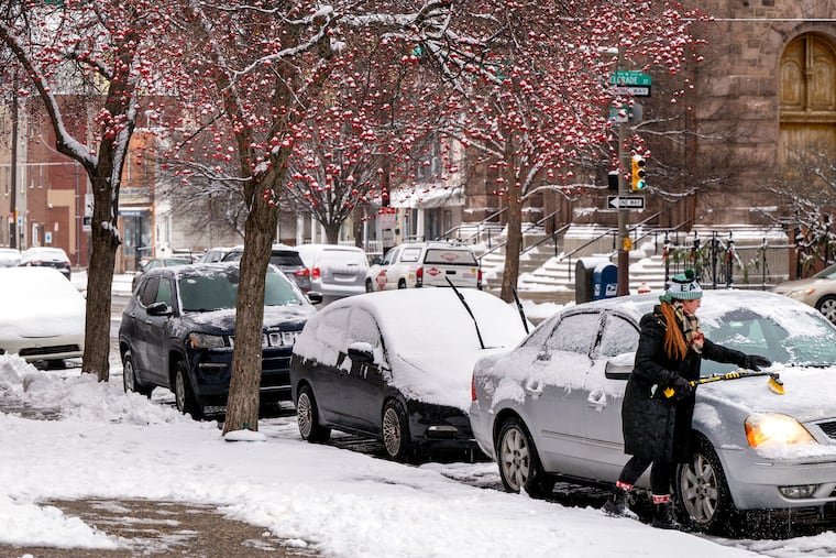
After a 716-day absence, accumulating snow returned to the region, with up to 4 inches of ponderously falling flakes Monday night into Tuesday. And an encore is possible Friday, perhaps bringing 2 to 4 more inches.
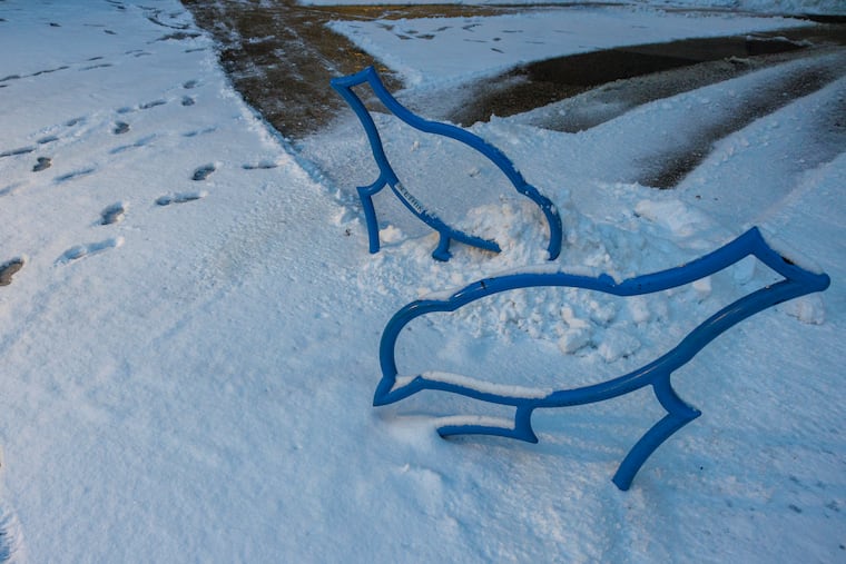
Officially, 3.3 inches was measured at Philadelphia International Airport on Tuesday, 10 times the amount that fell all of last winter.
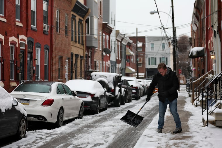
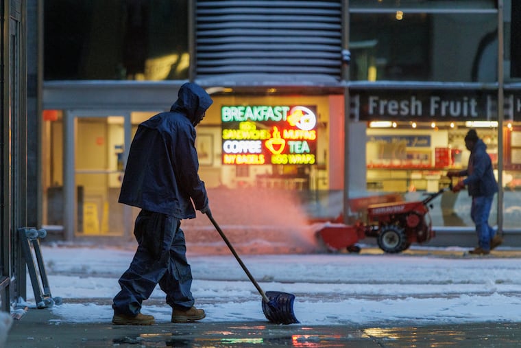
If you didn’t have a chance to shovel on Tuesday, best of luck.
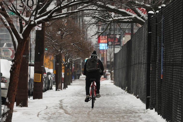
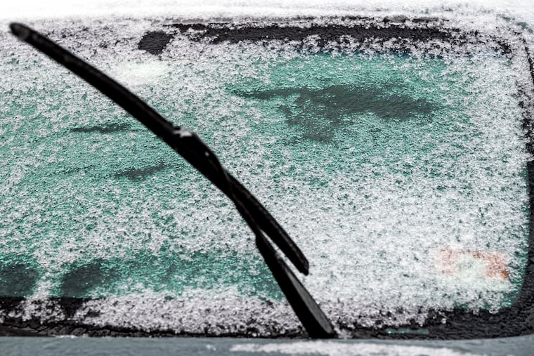
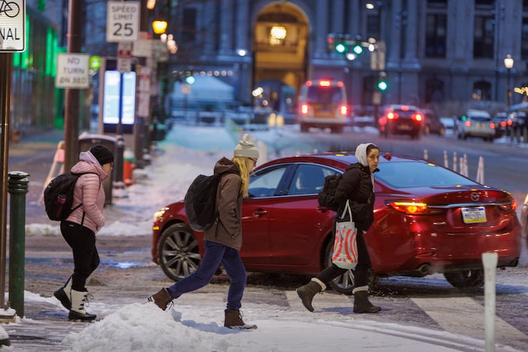
An annoying freezing rain and drizzle, about as popular as the Eagles this week, pestered much of the region into midafternoon. It lacquered car windows and left a crust upon a snow cover that is destined to take on a different character as the week progresses.
“That’s going to be a rock,” said Ray Martin, a lead meteorologist at the National Weather Service Office in Mount Holly. In fact, walking on the snow-and-ice pack Wednesday, you might even feel a few inches taller.

Temperatures are forecast to fall deep into the teens in the city — the lowest they have been since Christmas week of 2022 — and perhaps into single digits in the colder counties, with stinging west and northwest winds driving wind chills into the lower single digits.
For a third consecutive day, and, actually, for only the third time this winter, temperatures won’t make it to freezing on Wednesday.
» READ MORE: Philly schools opened on time, and not everyone was happy about it
And after a day in which snow and ice prompted schools in Philly’s neighboring counties to close or open late — and created a storm of anger when schools in the city didn’t follow suit — at least a modest amount of additional snow is likely by the end of the workweek.
The Philadelphia, Upper Darby and Cherry Hill districts announced two-hour delays for Wednesday.
Just how much snow will fall Friday?
The weather service says it expects 2 to 4 more inches beginning Thursday night and continuing into Friday night.
But meteorologists advised that the coming event would have a lot of moving parts, and though another coastal storm is expected to form in the South and the outcomes may parallel what happened Monday night and Tuesday, they won’t be clones. Upper-air systems to the west may be the primary sources of precipitation, they said.
» READ MORE: Forecasters warned early on this would be an stormy El Niño winter
Snow could fall episodically for as long as 36 hours, said Dave Dombek, senior meteorologist with AccuWeather, outdoing its predecessor in longevity.
The late-week falling snow might even linger longer, said Dave Dombek, senior meteorologist with AccuWeather Inc.
About the Monday-Tuesday storm
The Monday-Tuesday snow accumulated almost in slow-motion, falling at a rate of about an inch every five hours. According to the official hourly observations at the airport, for the duration it never became heavy and only occasionally approached moderate after the first flakes arrived at midafternoon on the Martin Luther King holiday.
Given that freezing precipitation continued after daybreak, some of those involved with Philadelphia schools thought the district should have just given the kids and teachers a four-day weekend, as many suburban schools did. Archdiocesan school buildings were closed.
Jerry Jordan, president of the Philadelphia Federation of Teachers, said he was watching the Eagles lose Monday night when he received word from a district official saying schools would open on time. He was surprised. “Streets were already very, very slippery, and they were predicting the conditions might be icy,” he said.
Said the president of the district’s school administrators union, “This was a bad call.”
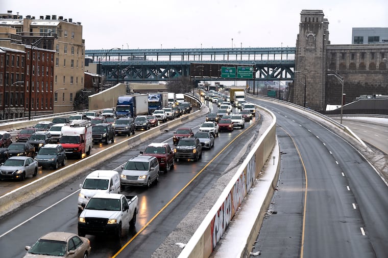
Despite all the snow and extended period of iced rain, no major problems were reported on the region’s highways, even through temperatures in most of the region didn’t get out of the 20s Tuesday.
The freezing rain was the result of a warm layer of air about 2,500 feet above the surface, said Dombek.
Snow falling through that layer melted; lost their magical symmetry; and made it to the surface as rain, where it froze on contact. Had the layer been higher, say 5,000 feet, the melted snow could have refrozen and fall as pebbles of sleet.
That good fortune on the roads may have had something to do with the usually maligned slush, said the weather service’s Martin.
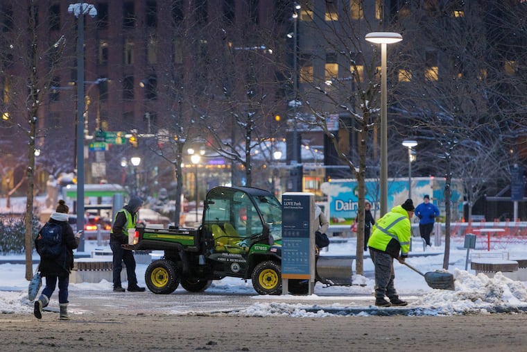
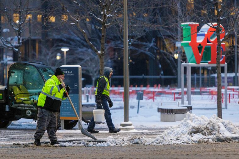
Because of the snow, obviously, road crews were out there plowing and salting. The PennDot Philly region had over 400 trucks deployed as crews evidently were able to shake off the accumulated storm-fighting rust, said spokesperson Brad Rudolph. That created a slushy cushion upon which the freezing rain fell.
“The worst freezing-rain situation is when you get a glaze atop something that isn’t treated,” said Martin.
“It’s really a saving grace that we got slush today.”
Always a bright side.
Snow and freezing rain weren’t major issues at the Shore, but evidently strong onshore winds did a number of North Wildwood’s beleaguered dune system, which has become more like “a kid’s sand castle,” said Mayor Patrick Rosenello.
» READ MORE: North Wildwood dunes take another hit
The city is seeking an emergency authorization from the State Department of Emergency Protection to expand its bulkhead system while it awaits a promised large-scale reconstruction of its beaches in 2025.
For now, the Friday forecast doesn’t include winds from the east, but the Shore and rest of the region has endured a sequence of disruptive rainstorms this winter.
We are not used to this
Philadelphia hadn’t experienced an inch of snow since Jan. 29, 2022, beating the old inch-less record, which included Philadelphia’s only winter without measurable snow, 1972-73, by a solid month.
It’s not only the lack of snow. As the world has warmed Philly’s winters have become milder. Of the 23 Decembers in the 21st century, average temperatures have been above normal in 17 of them, including the last five.
» READ MORE: Philly winters aren't what you think
Last month finished 4.5 degrees above normal, and they were running better than 5 degrees above normal this month.
That figure will have dropped significantly by next Tuesday. Whatever happens Friday will be followed by another Arctic outbreak, with temperatures not getting out of the 20s on Saturday, forecasters say.
But a major nationwide warmup is begin next week, and the government’s Climate Prediction Center now has the odds favoring above-normal temperatures across the country for the period ending Jan. 30.
Inquirer staff writers Kristen A. Graham, Amy S. Rosenberg, and Nick Vadala contributed to this article.
