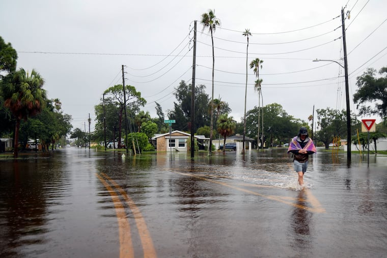
Debby could bring ‘6 or 7 inches of rain’ to some places around Philly by the end of the week
Heavy rains Tuesday afternoon and night could prime the region for flooding rains later in the week into the weekend.

What’s left of what has become Tropical Storm Debby is days away from the Philly region, forecasters say, but its impacts will be felt around here Tuesday afternoon and night — and by the end of the weekend, a half foot of rain or more may have fallen in some places.
The National Weather Service has posted a flash-flood watch for Philadelphia and its neighboring counties on both sides of the river in effect from 2 p.m. Tuesday until noon Wednesday for an expected 1 to 2.5 inches of rain, with isolated higher amounts.
And although Debby’s career path won’t become clearer until later in the week, its associated tropical moisture represents a significant rain threat to areas of eastern Pennsylvania, New Jersey, and Delaware into the weekend.
“It’s conceivable that between now and the end of the weekend, someone in the area could get over 6 or 7 inches of rain,” said Dave Dombek, senior meteorologist with AccuWeather Inc.
The government’s Weather Prediction Center on Monday afternoon was projecting rainfall totals of 6 inches or more in parts of the region with a bull’s-eye over South Jersey, very much subject to change, of course.
A brief history of Debby
Debby made landfall in a sparsely populated area of northern Florida as a minimal Category 1 hurricane Monday morning, but by 11 a.m. it had been demoted to a tropical storm and its peak winds were down to 50 mph by 5 p.m.
On Tuesday morning it was just inland near the Georgia coast, and while its winds were down to 45 mph, its rains posed a serious flood threat to the Carolinas.
It had significant impacts on the Sunshine State, with flooding rains, storm-surge flooding, and at one point more than 260,000 were without power in Florida, according to poweroutage.us.
» READ MORE: Debby is causing flight issues at PHL
The future of Debby
The hurricane center expects Debby to follow a serpentine track, bowing toward the coast before jogging back inland and arcing toward the Philadelphia region as a tropical depression on Saturday.
In the meantime, the circulation around Debby will export moisture well to the north of the storm’s center.
Debby’s potential impacts on the Philadelphia region
» READ MORE: Debby made landfall as a Category 1 hurricane in northern Florida Monday morning
As plumes of moisture pulse northward from Debby, they will interact with an approaching cold front to generate heavy rains and thunderstorms Tuesday afternoon into Wednesday, the weather service says.
Wednesday’s forecast high of 75 degrees would mark the first time in almost two months that the Philadelphia temperature failed to reach 80.
The government’s Weather Prediction Center rates the chances of “excessive” rains in Philadelphia as a three on a scale of four.
Severe storms are possible, said Dombek, and that first round of rain may be an appetizer.
“It kind of sets the table for what happens later in the week,” Dombek said.
In fact, the weather service is calling this a “predecessor rain event.”
The storms in the first round may be capricious, favoring some areas over others, but as Debby’s remains get closer, they would be more widespread.
In addition, the approach of the storm could result in strong winds at the Shore.
Debby’s moisture may have one positive impact on the region: Precipitation deficits the last two months have been growing in the region, more than the grass.
For the 60-day period ending Sunday, rain was about two-thirds of normal in Philadelphia and the neighboring Pennsylvania counties. Much of the region designated as “abnormally dry,” and Northeast Philly and parts of Burlington and Lower Bucks Counties were in “moderate drought,” according to the U.S. Drought Monitor’s latest update, posted Thursday.
Based on the forecast, keep the mowers handy.
