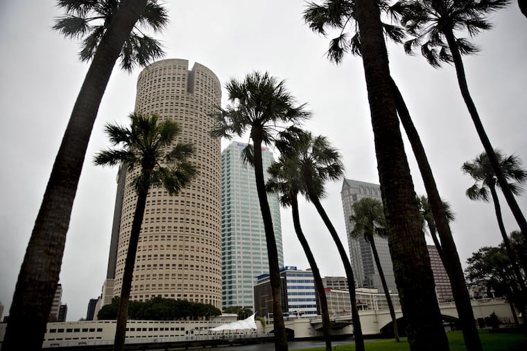
Hurricane Ian is ‘rapidly strengthening’ as it eyes Florida’s west coast, and it could impact the Mid-Atlantic
Ian could become the first major hurricane to make landfall near Tampa Bay since 1921. Later, it could become an inland rainmaker.

Hurricane Ian was developing explosively Monday, forecasters warned, and it could generate catastrophic flooding on Florida’s west coast at midweek and eventually mutate into a significant inland rainstorm for the Mid-Atlantic region.
Late Monday Ian was about 150 miles south of Cuba with peak winds at 80 mph, Ian was mining warm waters deep in the Caribbean Sea, said Stephanie E. Zick, a tropical meteorology specialist at Virginia Tech University.
“The environment is just so favorable,” she said. Favorable for hurricanes, that is.
» READ MORE: Seems like only two weeks ago we were wondering where the storms were. It was.
The National Hurricane Center at 5 p.m. estimated Ian’s top winds at 100 mph and predicted they would increase to 140 mph late Tuesday night or early Wednesday.
Paul Pastelok, hurricane expert at AccuWeather Inc., said that the projected track could be a nightmare for the Tampa area when it approaches sometime Wednesday.
“Life-threatening storm surge is possible along much of the Florida west coast, with the highest risk from Fort Myers to the Tampa Bay region,” the hurricane center said. All of Florida was under a state of emergency.
No major hurricane, one with winds of at least 111 mph, has made a direct landfall in the Tampa Bay area in 101 years, said Philip Klotzbach, with Colorado State University’s Tropical Meteorology Project.
Ian’s moves, and the speeds at which it will make them, remained sources of considerable uncertainty. “We’ve got really weak steering,” said Zick.
What would happen after landfall, whether any impacts would reach as far north as Philadelphia, and when that might happen would be well beyond the realm of the state of the science.
For now, the National Weather Service at Mount Holly forecast for the weekend has a prosaic chance of showers.
The hurricane center’s track would put Ian’s remnants near the Georgia-South Carolina border, with a wide margin of error.
But while its career from there would be up in the air, she advised that residents of the Mid-Atlantic should prepare “for a potential rain-maker event.”
» READ MORE: With Fiona, Gaston, Hermine, Ian all swirling at once, here’s why they name tropical storms
The Mount Holly weather service office said, “We could see rain associated with Ian by late weekend, or it could stay completely south of our region.”
Pastelok said if the remnants rains do get up this way, it likely woudn’t happen until next week. “My guess is that the moisture stays south of the Mason-Dixon line through the weekend,” he said.
In the short term, a hurricane warning is in effect for western Cuba, and a tropical storm watch is up for the Florida Keys.
Pastelok said that Ian could be especially damaging in the areas from Tampa Bay to Fort Myers, since they would be on the east side of Ian’s center, based on the projected path.
Winds circulate counterclockwise around cyclone centers, and the hurricane-force winds from the south would get an extra kick from Ian’s forward motion.
“It’s going to push a lot of water into the bay,” Pastelok said.
» READ MORE: A timeline of Ida's destruction in the Philly area
Incidentally, this would be first hurricane in the Atlantic Basin, which includes the Caribbean Sea and the Gulf of Mexico, bearing the name “Ian.” In 2021, the “I” storm was “Ida.” The World Meteorological Organization retires the names of especially destructive storms.
