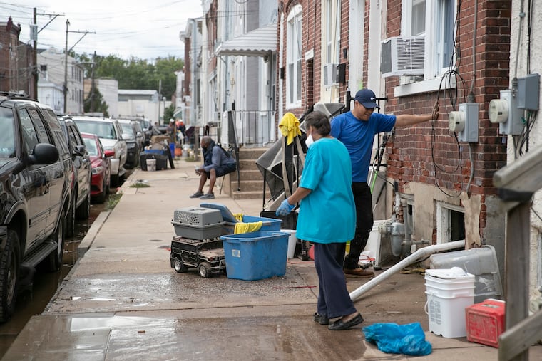
Heavy rain moves through Philly region, with flooding reported and ‘isolated’ tornadoes possible
The Storm Prediction Center has the region under a "marginal risk" for severe storms. Flood warnings have been issued on 24 days since early June.

A flood warning issued back in June was notable for ending quite a dry run: It was the first one the National Weather Service in Mount Holly had posted since the previous August, a record interval for the office.
“Those were the good old days,” said Nicholas Carr, a meteorologist at the weather service office, which has issued a flash flood watch for Thursday into Friday morning for Philadelphia and its Pennsylvania collar counties.
By mid-afternoon Thursday the entire region was under flood advisories, with flash-flood warnings in effect for the city, Delaware County, and Montgomery County; most of Chester County, and portions of Bucks, Burlington, Camden, Gloucester, and New Castle Counties.
Numerous water rescues and road closings were reported on both sides of the Delaware River as flooding downpours developed. The weather service advised that the Broad Street exit off I-95 was flooded and impassable. Flooding on the Vine Street Expressway near Broad Street resulted in lane restrictions.
Streets were water-covered Camden and Media, Delaware County, and more than 3 inches of rain had fallen in East Nantmeal, Chester County, the weather service said.
The forecast also included an outside chance of “isolated tornadoes,” and the government’s Storm Prediction Center had the entire region under a “marginal risk” of severe storms.
As for this flood watch, it is the first one in … let’s see … two whole weeks. “It’s not been a quiet three or four months,” said Carr. Since April, the region has been doused by the remnants of three tropical storms — Fred, Henri, and, most emphatically, Ida.
According to weather service records, the Mount Holly office has issued actual flash flood warnings — indicating flooding is imminent, a step up from a watch, which signifies favorable conditions — on 24 different days since June 3.
» READ MORE: The National Weather Service issues its first flood watch for the Philly area in nine months
Rainfall totals west of the Delaware River have been running well above normal for the last 90 days, and close to double normal in Philly’s neighboring counties.
Carr said the antecedent conditions were factors in the flood watch, which is in effect from 11 a.m. Thursday until 2 a.m. Friday.
The rain trigger is an approaching cold front, rather potent for the dawn of the equinox that arrived at 3:20 p.m. Wednesday.
The front is due to cross the region Thursday night into Friday, although computer models were having standard disagreements on precisely how soon it would arrive and how long it would take to go away, Carr said.
Generally 1 to 3 inches of rain is expected, with heftier amounts to the north and west of I-95.
The major threat would be heavy rains in short periods, Carr said, rather than continuous more moderate rainfall. No significant riverine flooding is expected.
He noted that in terms of ground moisture and stream levels, the region was in better shape than it was right after the Ida-related downpours at the beginning of the month. In the last week, rainfall has been close to normal.
» READ MORE: A timeline of Ida's Philly destruction
“It’s not quite as dire,” he said.
Once the rains shut off Friday morning, it should dry out, and it might be awhile before we see temperatures in the 80s again around here, which is the way it should be in the first week of fall.