More severe weather is possible Friday and Sunday in the storm-weary Philly region
The random thunderstorms here have a connection with the record heat in the Southwest, meteorologists say.
After one of the steamiest days of the summer to date forecasters say more of those random downpours are on the way for late Friday afternoon into the evening, with a possible encore Sunday.
Groundhog Day in July?
Meanwhile, parts of the Southwest keep baking alarmingly.
Veteran meteorologists have marveled at the recent behavior of the atmosphere. “It’s been crazy,” said Greg Carbin, chief of the Forecast Operations Branch at the Weather Prediction Center, in College Park, Md., who recently returned from inundated central Vermont.
Around Philadelphia, with the sultry atmosphere energized and well-juiced, the government’s Storm Prediction Center has the Philly region under a “marginal risk” for severe storms — those with gusts approaching 60 mph — Friday afternoon and evening. The National Weather Service said the favored areas appear to be near and to the west of I-95.
A rain delay isn’t out of the question, but the Phillies should be able to play their game against the visiting San Diego Padres, as the rain probabilities chances drop considerably after the scheduled start time, 6:05 p.m. But Sunday may be more problematic.
“Sunday,” said Dave Dombek, senior meteorologist with AccuWeather Inc., “might be the day to watch.”
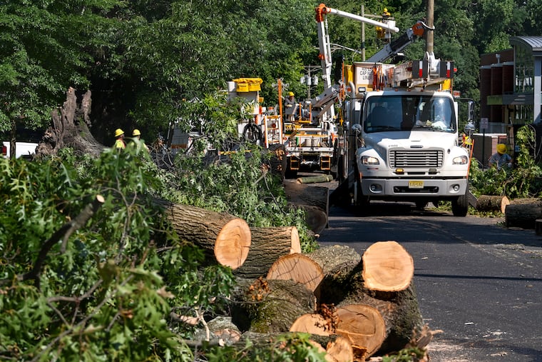
» READ MORE: Severe storms pounded the region last week.
With a high of 95 degrees, tied for the highest of the year, Thursday marked the sixth day this month that Philly’s temperature reached 90 or better. However, with the meteorological summer about half over, so far the region has been spared a prolonged heat wave and anything remotely similar to the record-smashing warmth in parts of the Southwest.
But what keeps happening there is very much related to what keeps happening here, said the weather center’s Carbin.
Persistence
All that heat in the Southwest is orchestrated by sprawling, stalled-in-place high pressure, or heavier air that discourages cloud cover. That has been allowing the sun to bake the ground, resulting in ultra-high temperatures that have further stoked the ongoing concerns about climate change.
Meanwhile, Dombek said, areas of lower pressure, or troughs that are associated with storminess, have taken residence in south-central Canada and the upper Midwest, and have directed a sequence of disturbances eastward — dramatically here and in New England last weekend.
Clouds and storminess have derailed the development of sustained heat in the Philadelphia region, and the atmosphere has been in a rut of lather, rinse, and keep rinsing. “It’s almost like you can’t go a day or 36 hours without something coming around,” Dombek added.
The high and low systems have been working in tandem, as is usually the case in the atmosphere, said Carbin: The positions of high and low pressure naturally alternate around the planet.
In this case, “It’s been a quasi-persistent pattern,” he added. “The heat has been incredibly stubborn.”
So, what’s with ‘drought?’
All of Pennsylvania remained under a “drought watch” as of Thursday, according to the Pennsylvania Department of Environmental Protection.
In the weekly U.S. Drought Monitor update Thursday, western Chester County, and portions of Camden, Gloucester and Burlington Counties were declared “abnormally dry.” A piece of Gloucester was in “moderate drought.”
» READ MORE: The early outlooks trended warm for Philly's summer, but so far ...
In the last 30 days, rainfall has been well above long-term averages in the nine-county Philly region, according to the Middle Atlantic River Forecast Center.
However, during the previous six months through Wednesday, it was below normal in all nine counties in the region.
Those rain deficits may well be on the run.
The outlook
The upper-air pattern is likely to stay this way “until further notice,” said Dombek.
The weather center’s Carbin said that the high responsible for the heat may migrate westward, rather than approach the East.
At 1:30 p.m. Nevada time Friday, the temperature in Las Vegas was 109 degrees, and a heat warning was in effect through Tuesday.
The atmospheric dramas in the Northeast have been of a different nature.
Carbin said he had returned from Vermont right before the flooding hit, but his wife remained and has been posting images on social media. He said his analysis showed that these were the heaviest rains to inundate the state since 2011, when it was deluged by the remnants of Irene.
Given the recent extremes, he said, it seems as though, “If you’re on Earth, you’re in danger.”
He cautioned, however, that “it’s hard to separate to what extent would this have occurred without a warmer world. That’s the challenge of attribution.”
