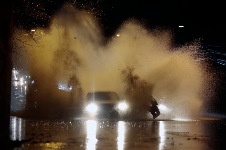
Another nasty rainstorm is heading to the Philly region. If you think Sundays have been especially rainy lately, you’re right.
The recent storms may be an El Niño harbinger, and you can stop dreaming about a white Christmas.

If you didn’t particularly care for last Sunday’s exercise in dreary, atmospheric misery, chances are excellent that you’ll like this Sunday’s even less.
For the fourth consecutive Sunday — 80% of Philly’s rain since Nov. 26 has fallen on Sundays — another significant rain-and-wind storm is due to arrive during the afternoon and continue into Monday, and might even end with a dash of snow, meteorologists say. The National Weather Service has posted a flood watch for the entire region from 6 p.m. Sunday through 6 p.m. Monday.
Sound familiar? This storm, they say, will be a bit different from last Sunday’s.
» READ MORE: We're in a rut, but seven-day storm cycles aren't uncommon
“It’s definitely looking a little friskier,” said Ray Martin, a lead meteorologist with the weather service’s Mount Holly office.
Up to three inches of rain is expected, with wind gusts to 40 mph in the city, and 50 mph at the Shore, where “it looks pretty wild,” said Tom Kines, senior meteorologist at AccuWeather Inc. Onshore winds from the east could lead to moderate flooding in the beach towns, the weather service says. A wind advisory was in effect for the eastern half of South Jersey.
This storm may be more troublesome for reasons other than potency, said Martin.
When the rain began last Sunday, the entire region was running a substantial precipitation deficit. That was pretty well doused by the time the storm departed on Monday.
Now, the ground is saturated, and this being winter, Martin said, the moisture tends to hang around because a warming sun isn’t available to evaporate it.
Plus, with the trees not soaking up the rain, conditions are more favorable to promote runoff.
“It definitely looks like with this one, we have more flood potential for sure,” said Martin.
The timing
Rain is due to start early Sunday afternoon and continue with heavy spurts through the night into Monday morning.
Gusty winds are forecast to build after sunset Sunday and keep howling through most of Monday. They will be blowing off the ocean Sunday before becoming westerly on Monday, heralding a brief cooldown.
Similar to last week, as the storm pulls away it will import significantly chillier air. “There might be a little snow in the air,” said Kines.
Not to worry, Philly’s streak of not experiencing an inch of snow since Jan. 29, 2022, should be safe, he said.
What’s with the Sundays?
The streak of consecutive rainy Sundays will go on. Since the Sunday after Thanksgiving, just more than four inches of rain has fallen officially in Philly. Of that, 3.22 inches has fallen on Sundays.
The recent storms could be related to the robust El Niño warming in the tropical Pacific, where sea-surface temperatures were running about 3.5 degrees Fahrenheit above normal. The heating of the overlying air can generate upper-air winds winds favorable for coastal storms, forecasters say.
» READ MORE: Forecasters see a sequence of coastal storms with El Nino. Have they started already?
Typically, they say, El Niño impacts don’t become evident until later in winter, but, “These kind of storms are pretty typical of the type of weather pattern we’re heading into,” said Kines.
It is not uncommon for storms to arrive in seven-day cycles, meteorologists say. That’s a function of the spacing between the atmospheric waves that transport weather systems across the country.
Eventually, those patterns do break, and that could happen next Sunday, which happens to be Christmas Eve. But even if a storm is on the prowl, cold air won’t be.
“It’s gong to be tough to get snow here Christmas Day,” said Kines.
Actually, said the weather service’s Martin, it may take a “miracle.”
