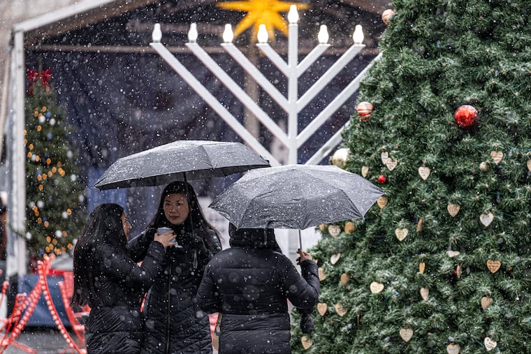
Philly’s snow shutout could end Wednesday — but barely
Philly hasn't had even a "trace" of snow in January. That streak may end Wednesday.

In the 139th winter that the government has been keeping track of snow officially in Philly, on Wednesday this one has a shot at clinching 138th place on the all-time seasonal snow-total list.
It is not expected to be worth its weight in salt, but snow is forecast to creep into the region in the morning, and could accumulate a few tenths of an inch in the city, before temperatures rise and the precipitation liquefies into a soaking rain, the National Weather Service says.
“It doesn’t look to be really much around the Philly area,” said Eric Hoeflich, meteorologist at the weather service office in Mount Holly.
The rain is due to continue Wednesday night, and winds could gust to 50 mph at the Shore, but otherwise the most-significant weather event in the immediate Philly region could be nighttime thunderstorms.
» READ MORE: Forecasters said snow might be scarce this winter. Maybe they got it right.
A measure of distinction
Before the changeover, if enough snow did manage to “accumulate” a tenth of an inch or more, that officially would be the first measurable snow of the season, ensuring that the winter of 2022-23 wouldn’t finish in last place for snow.
That honor is held by the winter of 1972-73, during which no more than a “trace” of snow was recorded. That season, two traces were reported by Jan. 24, same as this winter.
About ‘trace’
A trace is defined as the sighting of even a single snowflake or a solitary sleet ball by a trained observer at Philadelphia International Airport, explained Dean Iovino, a lead forecaster at the Mount Holly office.
So far, this one is going trace-for-trace with that storied winter of 1972-73, but this one has been playing a mean game of one-down-manship. While two traces have been logged this winter, both were in December, and since snow record-keeping began in the winter of 1884-85, Philly has never had a snowless, traceless January.
It is likely that streak is about to end, the weather service says, and that the region will see at least some frozen precipitation Wednesday morning.
What’s coming
A potent storm is forecast to track toward the Ohio Valley on Wednesday and spawn a secondary system inland, perhaps near the Philadelphia region. When those secondary storms track off the coast, they can draw in cold air from the north and become snow-making nor’easters. But that’s not happening Wednesday, given the setup, said Hoeflich.
“Generally that’s not really conducive to snow around the Philadelphia area,” he said.
Storms tend to track along the boundaries of warm and cold air, and the above-normal warmth of the Atlantic displaces those boundaries westward, said Paul Pastelok, seasonal forecaster at AccuWeather Inc., putting Philly on the warmer side.
Before the rains Wednesday, perhaps a half inch of snow could cover the grasses north and west of the city. However, amounts in the city would be even less, and the likelihood that Philly would see a whole inch is zero, the weather service says.
» READ MORE: In a Philly winter, don't be surprised by what does or doesn't happen.
Temperatures will be near freezing when the precipitation starts, but the ground remains quite warm for late January, as temperatures this month have been about 9.5 degrees above normal, so snow may have a hard time sticking.
Looking ahead, it might have a hard time snowing the rest of the month. No threats are in sight.