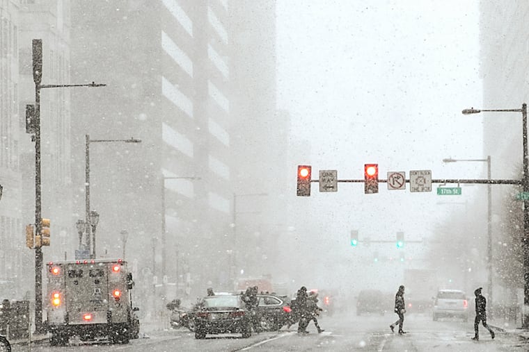
Philly has its first freeze on the opening day of ‘Snow Squall Awareness Week’
Temperatures dropped well into the 20s elsewhere in the region.

On the first day of the third annual “Snow Squall Awareness Week” in Pennsylvania, the temperature at Philadelphia International Airport got below freezing Monday morning for the first time this season, bottoming out at 31 degrees, the lowest reading in eight months.
“I had lots of frost on my car this morning,” said Eric Hoeflich, meteorologist with the National Weather Service Office in Mount Holly.
In keeping with trends, the airport was the regional palm-tree zone, with readings in the 20s at stations elsewhere. Aside from all the heat-absorbing structures and paved surfaces at the airport, Philly’s official thermometer is not far from the Delaware River, where the water temperature on Monday was in the mid-50s.
A Nov. 13 date for the city’s first official freezing reading would be right about on schedule — for the 21st century. The average has been around Nov. 15 as the time between freezes has been expanding with worldwide warming. The median first-freeze date in the 147-year period of record is Nov. 8, according to the weather service.
» READ MORE: Winter outlooks see big El Nino storms, but that might not be snow
Temperatures through Wednesday are forecast to be near or slightly below normal during the day, with nights in the 30s, several degrees below normal before a warmup begins Thursday.
An approaching cold front could set off some significant rain Friday into Saturday, said Hoeflich. That would be welcome. So far this month, Philadelphia has measured a mere 0.07 inches of rain. It normally has well over an inch by now.
That said, “It doesn’t look overly impactful,” Hoeflich added. He said a few snow showers could materialize in the Poconos, and Snow Squall Awareness Week notwithstanding, no flakes will invade Philly.
One might wonder why do this when the average daytime highs around here are in the 50s. Pennsylvania is the land of many climates. Corry, Erie County, measured 60.5 inches of snow throughout November 1933.
Snow squalls — not to be confused with dinky flurries — are mini-blizzards, with blizzard-level winds and visibilities, and the ability to coat the ground with a couple of inches in a half-hour.
» READ MORE: A deadly snow squall struck central Pennsylvania in 2022
They have been known to happen in November in Pennsylvania, and a lot of folks will be traveling Thanksgiving week.
In Philly they are more likely to occur deep into winter, although the region did experience one as early as Dec. 3, 1989, following a white Thanksgiving.