Philly and the East have been setting records, and now has another for rain
Philly hit 70 degrees for the sixth straight November day, unprecedented in records dating to 1870s. A rain record might fall Wednesday.
Setting the third record of the week, the official temperature in Philadelphia reached 70 on Wednesday, the first time it hit 70 or higher on six consecutive November days since the government began keeping track in the 1870s.
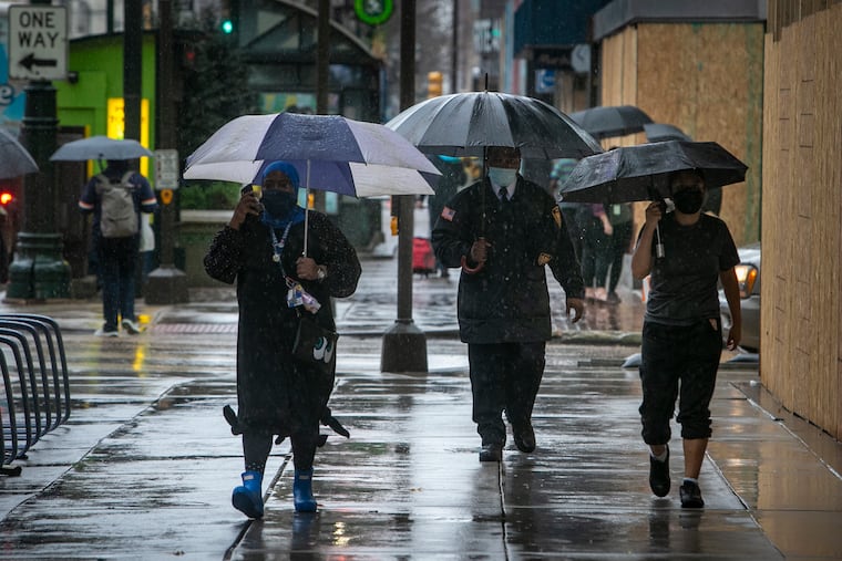
Heavy rains — perhaps up to 3 inches around here into Thursday, with a daily rainfall record set Wednesday — signal the inevitable change, but throughout the East this has been one astonishing warm spell.
In the year of the unreal, the weather evidently is not to be outdone.
On Tuesday, 68 high temperature records went down, from Cape Hatteras, N.C., to Philadelphia, to Caribou, Maine, to Cleveland, the National Weather Service reported.
In Buffalo, which on average has had about 3 inches of snow by now, the high of 77 was 27 degrees above the daily normal and beat the old record for the date by a full 8 degrees.
» READ MORE: Expect warm weather, with above normal temperatures, this winter in Philly
Buffalo residents weren’t suffering. “They just enjoyed the weather,” said Jason Alumbaugh, a National Weather Service meteorologist in the Buffalo office, fully aware that sooner or later the other snowshoe would drop.
Philly, Buffalo, and other areas east of the Mississippi have been under the influence of high pressure, or heavier air, centered just off the Atlantic coast. It has been a prodigious source of warmth. Winds circulate clockwise around centers of highs, so areas to the west of the center experience winds from the south.
By contrast, with low pressure dominating in the West, it has been quite cold out that way, with an assortment of frost, freeze, and winter-weather advisories. Mirror-opposite conditions on both sides of the country are common, given the geographic coverage of weather systems, said Dave Dombek, senior meteorologist at AccuWeather Inc.
» READ MORE: Peak foliage is arriving in Philly, and it could linger into November
The high in the East has “unusual strength,” Alumbaugh said. The warmth also has been getting a kick from the strong southerly winds out ahead of a storm prowling across the Plains; winds blow counterclockwise around storm centers.
Alumbaugh noted that the old record for a Nov. 10 in Buffalo was set in 1975 on the day that a storm to the west led to the famous wreck of the Edmund Fitzgerald on Lake Superior that killed 29 crew members.
Something close to normality returned to Buffalo on Wednesday, where temperatures were in the 50s, and November-like temperatures are expected in Philadelphia the rest of the week after a front crosses the region.
As it has approached, however, it has mined abundant moisture, and heavy rains are expected into Thursday morning.
Philadelphia, where temperatures reached 75 or better this week for the first time in a November, set a rain record Wednesday, albeit it was plucking low-hanging fruit. As of 9:30 p.m., 1.41 inches had fallen at the airport, said Sarah Johnson, a lead meteorologist at the weather service’s Mount Holly office.
The record for a Nov. 11 was 1.03 inches. set om 1970; the only other day with a precipitation record that low would be Feb. 29.
Nothing remotely wintry is in the outlook for Philadelphia, but if you’re heading up toward Buffalo, “it does look like it gets cold enough next week for maybe some lake-effect snow,” Alumbaugh said.
