Expect soaking rains, windy encore Monday, with power outages possible
Soaking rains and gusts from the south could spell trouble for trees and power lines

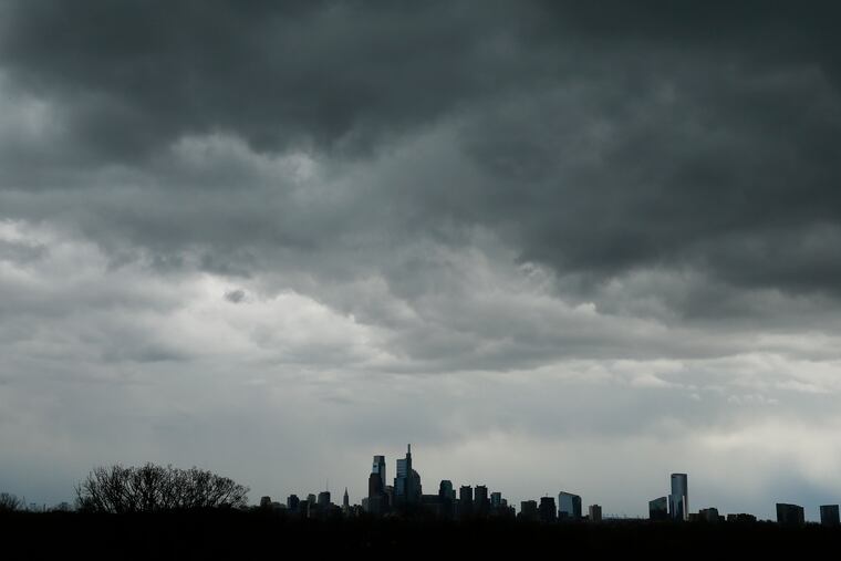
A powerful storm will generate soaking rains, thunderstorms, and possibly yet another round of 50 mph-plus gusts on Monday that could bring down some power lines, forecasters say.
One concern is that the strongest winds would come from the south, said Nicholas Carr, a National Weather Service meteorologist in Mount Holly. With the ground soaked, that could mean trouble for trees.
They’ve made a long career of bending with the prevailing winds from the west, but they would be more vulnerable to gusts from a “non-common direction,” Carr said.
The National Weather Service has issued a “high wind watch,” which Carr said was a “place holder" that eventually could be upgraded to an advisory or warning.
Alan Reppert, a meteorologist with AccuWeather, said he wouldn’t be surprised if a flood watch were added to the package.
After a dry Easter Sunday with a high near 70, the weather service was calling for 1 to 2 inches of rain to start very late Sunday night or in the early morning hours on Monday.
The gusts are due to pick up around daybreak, and thunderstorms are likely in the afternoon.
The government’s Storm Prediction Center has Philadelphia in a “marginal risk” zone for severe weather; the criterion is winds near 60 mph.
Winds gusted past 70 mph near the Jersey Shore on Thursday, followed by another round of potent winds on Friday.
» READ MORE: Winds gusting to 70 mph roar through Philly region; power outages widspread
Monday’s winds will come courtesy of a sprawling storm in the Midwest. Winds circulate counterclockwise around centers of low pressure so the Philadelphia region will be getting winds from the south.
Any thunderstorms could mine stronger winds higher up and bring them down to the surface, forecasters said.
Both the rain and the winds should back off by Monday night.
